We use cookies to make your experience better. To comply with the new e-Privacy directive, we need to ask for your consent to set the cookies. Read our privacy and security policy

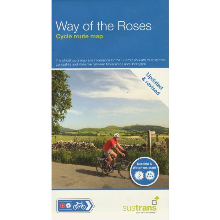
Way of the Roses MorecambeBridlington
Cycle Route Map NN69
£10.99
In Stock
Usually dispatched within 24 hrs. Free delivery to UK for orders £25 and over
| Cordee Code: | CCY490 |
|---|---|
| Page Size: | 125 x 235 mm |
| Publisher: | Walk Wheel Cycle Trust |
| ISBN13: | 9781914410239 |
| Scale: | 1:110 000 |
| Binding: | Waterproof Map (folded) |
| Weight: | 30g |
| Product Type: | Map |
The official route map covering the 170 miles (274 km) of National Cycle Network between Morecambe on the west coast and Bridlington on the east coast, via the historic cities of Lancaster and York - Sustrans' route NN69. In a 1:100,000 scale, the map shows gradient profiles and visitor information, with detailed routes through towns and cities.
The route has been developed by Sustrans and offers a 'coast to coast' cycling adventure through wonderful countryside and heritage. From Morecambe Bay to Bridlington Bay, the scenery is varied and beautiful with the Lune Valley, Forest of Bowland, Yorkshire Dales National Park, Vale of York and Yorkshire Wolds - all enjoyed from cycle paths, country lanes and quieter roads. The route is largely waymarked with the familiar blue Sustrans' signs.
The route has been developed by Sustrans and offers a 'coast to coast' cycling adventure through wonderful countryside and heritage. From Morecambe Bay to Bridlington Bay, the scenery is varied and beautiful with the Lune Valley, Forest of Bowland, Yorkshire Dales National Park, Vale of York and Yorkshire Wolds - all enjoyed from cycle paths, country lanes and quieter roads. The route is largely waymarked with the familiar blue Sustrans' signs.