We use cookies to make your experience better. To comply with the new e-Privacy directive, we need to ask for your consent to set the cookies. Learn more
Walking The Cleveland Way Map Booklet
1:25,000 route map booklet
£7.95
Temp Out Of Stock
| Cordee Code: | CP0184 |
|---|---|
| Page Size: | 115 x 170 mm |
| No of Pages: | 64 |
| Publisher: | Cicerone Press |
| ISBN13: | 9781852849344 |
| Published Date: | December 2017 |
| Edition: | 1st edition, Dec 2017 |
| Binding: | Paperback |
| Weight: | 90g |
| Geoarea: | Yorkshire Wolds |
| Product Type: | Book |
| Countries: | United Kingdom |
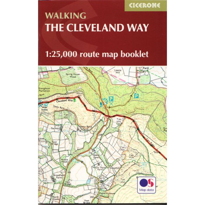
All the mapping you need to complete the Cleveland Way National Trail, a fine 177km (110 miles) walk around the North York Moors National Park from Helmsley to Filey.
NOTE An accompanying Cicerone guidebook The Cleveland Way and Yorkshire Wolds Way - describes the full route with lots of other practical and historical information, for those who prefer a written guide. The accompanying guidebook includes a copy of this map booklet.
This booklet of Ordnance Survey 1:25,000 Explorer maps has been designed for convenient use on the trail. It shows the full and up-to-date line of the national trail, along with the relevant extract from the OS Explorer map legend, and can be used when walking the route in either direction. It is conveniently sized for slipping into a jacket pocket or the top of a rucksack and comes in a clear PVC sleeve.