We use cookies to make your experience better. To comply with the new e-Privacy directive, we need to ask for your consent to set the cookies. Learn more
Vignemale Ossau Arrens Cauterets 1647 OT
£15.50
In Stock
Usually dispatched within 24 hrs. Free delivery to UK for orders £25 and over
| Cordee Code: | CMF717 |
|---|---|
| Page Size: | 112 x 235 mm |
| No of Pages: | 2 |
| Publisher: | Ign Top 25 Maps |
| ISBN13: | 9782758551843 |
| Author: | IGN |
| Published Date: | February 2022 |
| Edition: | 6th ed, 2022 |
| Binding: | Sheet Map (folded) |
| Weight: | 80g |
| Product Type: | Map |
| Countries: | France |
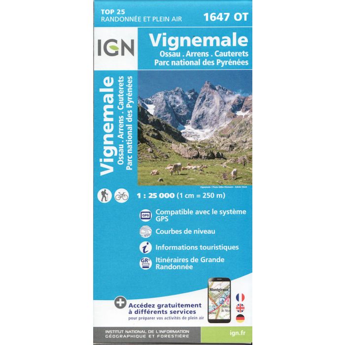
Topographic survey of France at 1:25,000 in IGN's excellent TOP25 / Serie Bleue series. All the maps are GPS compatible. Contours are at 5m intervals except for mountainous areas where the maps have contours at 10m intervals, vividly enhanced by hill shading and graphics for rocky terrain. Colouring with graphics indicates different types of vegetation or land use (deciduous or coniferous forests, moors, orchards, vineyards, etc).
Now includes digital download.
Now includes digital download.