We use cookies to make your experience better. To comply with the new e-Privacy directive, we need to ask for your consent to set the cookies. Learn more
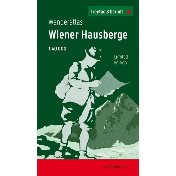
Vienna Hausmountains, Walking map 1:40000, anniversary edit
£14.90
In Stock
Usually dispatched within 24 hrs. Free delivery to UK for orders £25 and over
| Cordee Code: | FB0787 |
|---|---|
| Page Size: | 120 x 210 mm |
| Publisher: | Freytag & Berndt |
| ISBN13: | 9783707918939 |
| Published Date: | October 2020 |
| Binding: | Sheet Map (folded) |
| Weight: | 829g |
| Product Type: | Map |
| Countries: | Austria |
All Viennese local mountains in one volume!
The area around Rax, Schneeberg, Schneealpe, Semmering region and Hohe Wand is commonly referred to as "Viennese local mountains" due to its proximity to the federal capital. The leisure and local recreation area, which is particularly popular with the Viennese, has numerous sights and excursion destinations. For the anniversary edition of our hiking atlas, we have selected 40 of the most beautiful routes, from easy and family-friendly hikes to challenging summit ascents and some tours with climbing passages. The entire area is shown in a comprehensive map section at a scale of 1:40,000 Details: map section with 40 sheets, detailed descriptions of the route with elevation profiles and map sections, leisure information, place index with postcodes, GPS-compatible, via ferrata, ski route, cross-country route, Nordic walking route; Thanks to the detailed digital cartography and the precise scales, freytag & berndt hiking atlases are ideal companions for hiking, mountaineering and ski tours. They are regularly revised and contain updated information on hiking trails, cycling and mountain biking routes, huts, natural monuments, cultural sights and leisure facilities.
The area around Rax, Schneeberg, Schneealpe, Semmering region and Hohe Wand is commonly referred to as "Viennese local mountains" due to its proximity to the federal capital. The leisure and local recreation area, which is particularly popular with the Viennese, has numerous sights and excursion destinations. For the anniversary edition of our hiking atlas, we have selected 40 of the most beautiful routes, from easy and family-friendly hikes to challenging summit ascents and some tours with climbing passages. The entire area is shown in a comprehensive map section at a scale of 1:40,000 Details: map section with 40 sheets, detailed descriptions of the route with elevation profiles and map sections, leisure information, place index with postcodes, GPS-compatible, via ferrata, ski route, cross-country route, Nordic walking route; Thanks to the detailed digital cartography and the precise scales, freytag & berndt hiking atlases are ideal companions for hiking, mountaineering and ski tours. They are regularly revised and contain updated information on hiking trails, cycling and mountain biking routes, huts, natural monuments, cultural sights and leisure facilities.