We use cookies to make your experience better. To comply with the new e-Privacy directive, we need to ask for your consent to set the cookies. Learn more

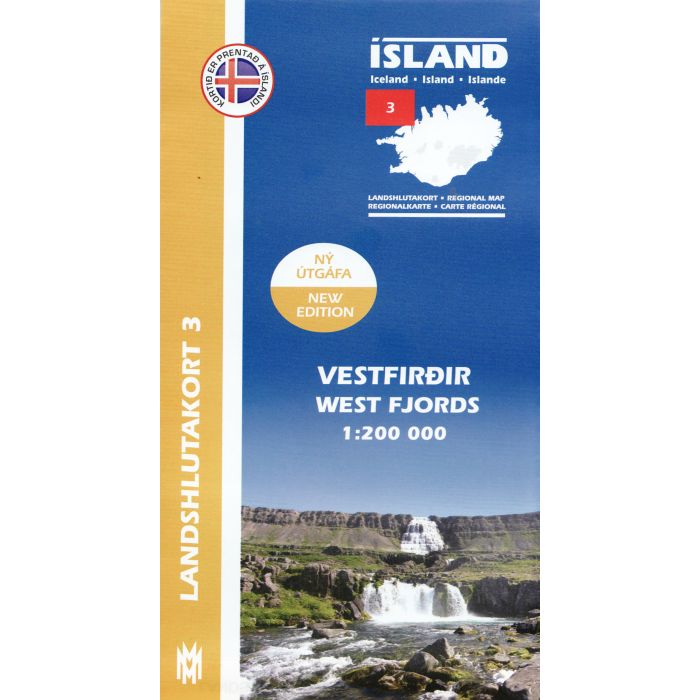
Vestfirdir West Fjords 1:100,000
Iceland Regional Map (3) north-west coast
£18.99
In Stock
Usually dispatched within 24 hrs. Free delivery to UK for orders £25 and over
| Cordee Code: | CMV309 |
|---|---|
| Publisher: | Forlagid |
| ISBN13: | 9789979333784 |
| Author: | Mal og menning |
| Published Date: | August 2010 |
| Weight: | 80g |
| Product Type: | Map |
| Countries: | Iceland |
The Western Fjords of Iceland at 1:200,000 on a detailed map from Mal og Menning with exceptionally vivid presentation of the country's topography and landscape, hard surface or gravel roads and numerous country tracks, superb drawings of local birds and flowers, etc.
Maps in this series, first published in summer 2013, are based on the publishers' topographic mapping of Iceland at 1:100,000 and provides an outstanding presentation of Iceland's unique topography and landscape. Contours at 100m intervals are supplemented by very vivid relief shading and altitude colouring, with many more names of topographic features than on the publishers' 1:300,000 series. The maps also have additional colouring and/or graphics to indicate different types of land cover.
Road network is also finely presented, divided into main and secondary roads with hard or gravel surface. Significantly more cross-country tracks are marked than on other road maps. Symbols indicate location of fords, emergency shelters, campsites, tourist huts or shelters, swimming pools and golf courses, thermal and hydro-electric power stations, local airfields, etc. The maps have a grid with latitude and longitude at 4' and 10' intervals respectively.
On the reverse the maps have photographs of main natural sights in the region with multilingual descriptions which include English. Each map also has lovely drawings of local birds and flowers (names include English and Latin).
Maps in this series, first published in summer 2013, are based on the publishers' topographic mapping of Iceland at 1:100,000 and provides an outstanding presentation of Iceland's unique topography and landscape. Contours at 100m intervals are supplemented by very vivid relief shading and altitude colouring, with many more names of topographic features than on the publishers' 1:300,000 series. The maps also have additional colouring and/or graphics to indicate different types of land cover.
Road network is also finely presented, divided into main and secondary roads with hard or gravel surface. Significantly more cross-country tracks are marked than on other road maps. Symbols indicate location of fords, emergency shelters, campsites, tourist huts or shelters, swimming pools and golf courses, thermal and hydro-electric power stations, local airfields, etc. The maps have a grid with latitude and longitude at 4' and 10' intervals respectively.
On the reverse the maps have photographs of main natural sights in the region with multilingual descriptions which include English. Each map also has lovely drawings of local birds and flowers (names include English and Latin).
-
 Hornstrandir 1:100,000 1:50,000Iceland Trekking Map (9) far NW coast£19.99
CMV255
Temp Out Of Stock -
