We use cookies to make your experience better. To comply with the new e-Privacy directive, we need to ask for your consent to set the cookies. Learn more
Valle de Benasque 1:30,000
Aneto, Maladeta, Posets, Perdiguero
£15.99
In Stock
Usually dispatched within 24 hrs. Free delivery to UK for orders £25 and over
| Cordee Code: | CMM250 |
|---|---|
| Page Size: | 110 x 215 mm |
| Publisher: | Editorial Alpina |
| ISBN13: | 9788480909372 |
| Scale: | 1:30,000 |
| Author: | Editorial Alpina |
| Published Date: | July 2023 |
| Edition: | 2022/3 |
| Binding: | Sheet Map (folded) In Wallet |
| Illustrations: | 2 colour pictures |
| Weight: | 65g |
| Product Type: | Map |
| Countries: | Spain |
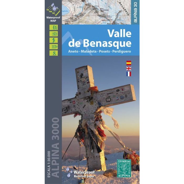
Valle de Benasque area of the Spanish Pyrenees on a light, waterproof and tear-resistant, contoured and GPS compatible map at 1:30,000 from Editorial Alpina, highlighting hiking trails, sites for various other recreational facilities, campsites and refuges, etc. Centred on Benasque, the map covers two of the highest parts of the Spanish Pyrenees: the Maladeta massif with Pico de Aneto and the Potes massif.
Topography is shown by contours at 20m intervals with relief shading and numerous spot heights, plus colouring for woodlands, brushwood or meadows and farmland. The overprint for hiking routes includes long-distance GR paths and local PR trails, and indicates tracks in bad condition and poorly defined paths. Symbols show locations of local hotels and guesthouses, paradors, g?tes, campsites and shelters, restaurants, as well as sites for skiing, paragliding, climbing and canyoning, plus various places of interest. Local roads indicate car parks and locations of petrol stations. The map has a 1km UTM grid plus latitude and longitude margin ticks at 1? intervals. Map legend includes English..
Topography is shown by contours at 20m intervals with relief shading and numerous spot heights, plus colouring for woodlands, brushwood or meadows and farmland. The overprint for hiking routes includes long-distance GR paths and local PR trails, and indicates tracks in bad condition and poorly defined paths. Symbols show locations of local hotels and guesthouses, paradors, g?tes, campsites and shelters, restaurants, as well as sites for skiing, paragliding, climbing and canyoning, plus various places of interest. Local roads indicate car parks and locations of petrol stations. The map has a 1km UTM grid plus latitude and longitude margin ticks at 1? intervals. Map legend includes English..
-
 Aneto Maladeta Valles de Benasque y Barraves1:25,000 map + hiking guide (in english)£16.99
CMM007
Temp Out Of Stock