We use cookies to make your experience better. To comply with the new e-Privacy directive, we need to ask for your consent to set the cookies. Learn more
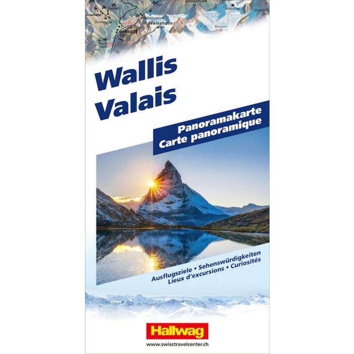
Valais Panoramic Map
£14.99
In Stock
Usually dispatched within 24 hrs. Free delivery to UK for orders £25 and over
| Cordee Code: | HW0023 |
|---|---|
| Page Size: | 130 x 250 mm |
| No of Pages: | 2 |
| Publisher: | Hallwag |
| ISBN13: | 9783828310827 |
| Author: | Hallwag |
| Published Date: | April 2024 |
| Edition: | 2024 |
| Binding: | Sheet Map (folded) |
| Weight: | 160g |
| Product Type: | Map |
| Countries: | Switzerland |
The Hallwag panoramic map of Valais reflects Valais in all its typicality and beauty.
It presents the region in a 3D image, thereby highlighting its special features. With visualized mountains, valleys, forests, and lakes, the map becomes something truly exceptional. The map shows the entire Valais, from Lake Maggiore, Simplon Pass, Brig, Matterhorn, Zermatt, Sion, Monthey, Lake Geneva, etc., representing the main areas and points of interest and portraying their features as realistically as possible.
Thanks to the 3D representation and detailed illustration, the viewer is shown exactly what characterizes the region, what to expect there, or what they will recognize.
A multitude of indications about sights, viewpoints, mountain railways, and offers for active leisure activities complete the map.
The panoramic map for landscape lovers consists of a sturdy cover and very pleasant paper. Whether as a wall poster or as a tool for regional recognition: the map will not disappoint you.