We use cookies to make your experience better. To comply with the new e-Privacy directive, we need to ask for your consent to set the cookies. Learn more
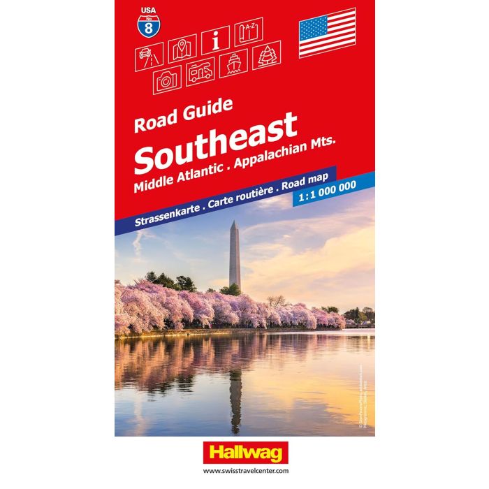
USA Road Guide No 8 Southeast
£14.99
Not Yet Published
This title has not yet been released. You may pre-order now and we will deliver it to you when it arrives.
Contact [email protected]
Contact [email protected]
Expected: 15th April 2026
| Cordee Code: | HW0036 |
|---|---|
| Page Size: | 130 x 250 mm |
| No of Pages: | 2 |
| Publisher: | Hallwag |
| ISBN13: | 9783828330641 |
| Published Date: | March 2026 |
| Edition: | 2026 |
| Binding: | Sheet Map (folded) |
| Weight: | 160g |
| Product Type: | Map |
Southeast - Middle Atlantic at 1:1,000,000 in a series of indexed touring road maps of USA from Hallwag, with each title conveniently covering a large region and providing enlargements of most visited areas, city maps and other useful tourist information.
The map includes Virginia, North Carolina, South Carolina, Tennessee, Kentucky, and the northern parts of Alabama and Georgia. Enlargements cover the conurbations around Atlanta, Indianapolis, Cincinnati, Dayton, Columbus, Louisville, Memphis, Nashville, Birmingham, Charlotte, Raleigh/Durham, Richmond, Hampton/Norfolk/Virginia Beach, Baltimore, Wilmington, Philadelphia and Washington DC. Also provided is a street plan of central Washington DC, plus maps of the Shenandoah and the Great Smoky Mountains National Parks.
The map is part of Hallwag's series covering USA at 1:1,000,000. The series has been revised from its earlier version and now uses cartography from Hema which provides an excellent combination of information about the terrain, the road network and places of interest. The base map has effective but unobtrusive relief shading with plenty of names of mountain ranges, peaks (heights in feet), deserts, etc.
Colouring prominently highlights national or state parks, forests and other protected areas, as well as Indian Reservations and military zones. Road network clearly shows road numbers, indicates free and toll highways with locations of services, and gives driving distances on interstate and primary routes. The maps also show Amtrak railway lines with stations, local airports, state borders and time zone boundaries. An extensive range of symbols indicate various places of tourist interest. Each map is indexed and for GPS navigation has latitude and longitude lines drawn at 30' intervals. Each title also includes enlargements of most visited areas - please see individual descriptions for more information - and useful tourist information such as metric conversion tables, traffic signs, phone numbers/websites for many organizations including recommended accommodations, etc. Map legends and all the text include English.