We use cookies to make your experience better. To comply with the new e-Privacy directive, we need to ask for your consent to set the cookies. Learn more
Uruguay, Paraguay Map
Adventure Maps
£14.95
In Stock
Usually dispatched within 24 hrs. Free delivery to UK for orders £25 and over
| Cordee Code: | NG0089 |
|---|---|
| Page Size: | 110 x 230 mm |
| Publisher: | National Geographic Maps |
| ISBN13: | 9781566957595 |
| Binding: | Sheet Map (folded) |
| Weight: | 150g |
| Product Type: | Map |
| Countries: | Uruguay |
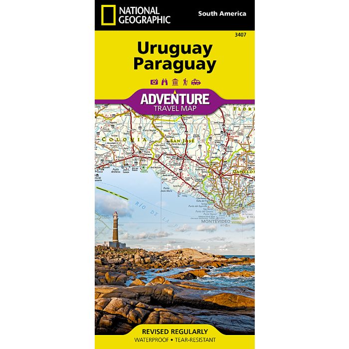
Waterproof Tear-Resistant Travel MapLet National Geographic's Uruguay and Paraguay Adventure Map guide you as you explore the unique biodiversity, rich history and vibrant culture of these two South American countries. Quickly find your destination with the aid of a user-friendly index of cities and towns. Then plan your route using the mapped road network, complete with distances and designations for major and secondary roads, as well as tracks and unsurfaced roads for those seeking to travel off the beaten path. Other travel network features include airports, airfields, railroads, harbors and border crossings. In addition, hundreds of cultural, historical, ecological and recreational points of interest are pinpointed, such as UNESCO World Heritage Sites, protected areas, beaches, waterfalls, camping, and more. The map's front side covers the majority of land-locked Paraguay with its long borders with Brazil and Argentina, through the wetlands of the Rio Paraguay, down to the capital of Asuncion. The back side covers the southern tip of the Paraguay as well as the entire coastal country of Uruguay. Uruguay also shares long borders with Brazil and Argentina, but unlike Paraguay, Uruguay's capital of Montevideo is situated on the Atlantic Ocean. With such an abundance of specialized content, along with its topographic features, this map is the perfect compliment to any guide book to these two countries. Every Adventure Map is printed on durable synthetic paper, making them waterproof, tear-resistant and tough capable of withstanding the rigors of international travel.