We use cookies to make your experience better. To comply with the new e-Privacy directive, we need to ask for your consent to set the cookies. Read our privacy and security policy

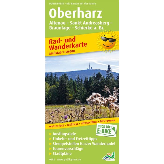
Upperharz Altenau, St Andreasmountain, Braunlage
£8.90
In Stock
Usually dispatched within 24 hrs. Free delivery to UK for orders £25 and over
| Cordee Code: | FB1094 |
|---|---|
| Page Size: | 90 x 200 mm |
| Publisher: | Freytag & Berndt |
| ISBN13: | 9783747302828 |
| Published Date: | March 2019 |
| Binding: | Sheet Map (folded) |
| Weight: | 100g |
| Product Type: | Map |
| Countries: | Germany |
The cycling and hiking map marks and describes many paths through the Harz National Park. The low mountain range with the Brocken (1,142 m above sea level) as the highest point is an ideal area for experienced cyclists and hikers. Particularly worth mentioning is a separate network of trails for mountain bikers. City maps of St.Andreasberg and Braunlage, as well as information about places and excursion destinations, help when planning your own routes.