We use cookies to make your experience better. To comply with the new e-Privacy directive, we need to ask for your consent to set the cookies. Learn more
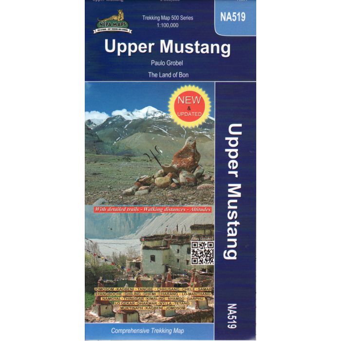
Upper Mustang 1:100,000
The Land of Bon
£16.99
In Stock
Usually dispatched within 24 hrs. Free delivery to UK for orders £25 and over
| Cordee Code: | CMW184 |
|---|---|
| Page Size: | 125 x 245 mm |
| Publisher: | Nepa Publications |
| ISBN13: | 9789937649193 |
| Scale: | 1:100,000 |
| Author: | Nepa Maps |
| Language: | English |
| Published Date: | September 2011 |
| Weight: | 90g |
| Product Type: | Map |
| Countries: | Nepal |
A detailed 1:100,000 map of the Upper Mustang region of Nepal. This map includes suggested routes via Jomosom, Kagbeni, Chhusang, Samar, Ghemi, Lo-Manthang, Namgyal, Hinggar, Garphu, Lo Gekar, Hakmar, Nyi La, Tetang, Mukinath, Kagbeni.
The map covers a range of altitudes from 2720m - 4230m above sea level.
The map covers a range of altitudes from 2720m - 4230m above sea level.