We use cookies to make your experience better. To comply with the new e-Privacy directive, we need to ask for your consent to set the cookies. Read our privacy and security policy

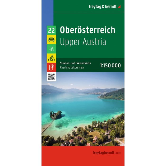
Upper Austria Road and Leisure Map
£12.90
In Stock
Usually dispatched within 24 hrs. Free delivery to UK for orders £25 and over
| Cordee Code: | FB1798 |
|---|---|
| Page Size: | 130 x 255 mm |
| No of Pages: | 2 |
| Publisher: | Freytag & Berndt |
| ISBN13: | 9783991546887 |
| Scale: | 1:150,000 |
| Published Date: | November 2026 |
| Edition: | 2026 |
| Binding: | Sheet Map (folded) |
| Weight: | 200g |
| Product Type: | Map |
| Countries: | Austria |
Road and leisure map of Upper Austria
Information on the road map of Upper Austria
Scale 1:150,000
Cycle routes
Tourist information
With information guide
Campsites and pitches
Local directory with postal codes
15 City plans eg Linz, Steyr, Wels
approx. 132 x 98 cm
Map series Austria
Lower Austria
Upper Austria
Burgenland
Styria
Carinthia
Salzburg
Tyrol
Vorarlberg
Information on the road map of Upper Austria
Scale 1:150,000
Cycle routes
Tourist information
With information guide
Campsites and pitches
Local directory with postal codes
15 City plans eg Linz, Steyr, Wels
approx. 132 x 98 cm
Map series Austria
Lower Austria
Upper Austria
Burgenland
Styria
Carinthia
Salzburg
Tyrol
Vorarlberg