We use cookies to make your experience better. To comply with the new e-Privacy directive, we need to ask for your consent to set the cookies. Read our privacy and security policy

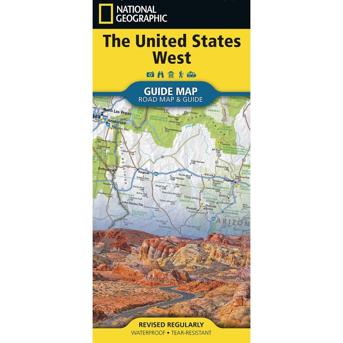
United States: West Adventure Map
£14.95
In Stock
Usually dispatched within 24 hrs. Free delivery to UK for orders £25 and over
| Cordee Code: | NG0898 |
|---|---|
| Page Size: | 110 x 230 mm |
| No of Pages: | 1 |
| Publisher: | National Geographic Maps |
| ISBN13: | 9781566959735 |
| Published Date: | April 2025 |
| Edition: | April 2025 |
| Binding: | Sheet Map (folded) |
| Weight: | 40g |
| Product Type: | Map |
| Countries: | United States of America |
? Waterproof ? Tear-Resistant ? Travel Map
This detailed map of the Western United States highlights the Dakotas, Texas, the Pacific Northwest, California, the Rocky Mountains, and the Desert Southwest, capturing the breadth and diversity of the region with clarity and depth. It clearly displays freeways, tollways, primary and secondary highways, making route planning easy whether you?re crossing state lines or exploring back roads. Towns are clearly labeled and supported by a convenient town index, so finding your way?near or far?is always straightforward.
Beyond roads and cities, the map highlights the landscapes that make the West unforgettable. National parks and monuments, national forests, and national wildlife refuges are prominently shown, inviting exploration of both iconic destinations and hidden gems. Hundreds of noteworthy places, attractions, and landmarks are included, turning every journey into an opportunity for discovery and making this map an essential companion for travelers, road-trippers, and explorers alike.
Every State Guide Map is printed on durable synthetic paper, making them waterproof, tear-resistant and tough ? capable of withstanding the rigors of any kind of travel.
This detailed map of the Western United States highlights the Dakotas, Texas, the Pacific Northwest, California, the Rocky Mountains, and the Desert Southwest, capturing the breadth and diversity of the region with clarity and depth. It clearly displays freeways, tollways, primary and secondary highways, making route planning easy whether you?re crossing state lines or exploring back roads. Towns are clearly labeled and supported by a convenient town index, so finding your way?near or far?is always straightforward.
Beyond roads and cities, the map highlights the landscapes that make the West unforgettable. National parks and monuments, national forests, and national wildlife refuges are prominently shown, inviting exploration of both iconic destinations and hidden gems. Hundreds of noteworthy places, attractions, and landmarks are included, turning every journey into an opportunity for discovery and making this map an essential companion for travelers, road-trippers, and explorers alike.
Every State Guide Map is printed on durable synthetic paper, making them waterproof, tear-resistant and tough ? capable of withstanding the rigors of any kind of travel.