We use cookies to make your experience better. To comply with the new e-Privacy directive, we need to ask for your consent to set the cookies. Learn more
United States Decorator Map Enlarged and Laminated
Reference Maps
£69.95
In Stock
Usually dispatched within 24 hrs. Free delivery to UK for orders £25 and over
| Cordee Code: | NG0777 |
|---|---|
| Page Size: | 1760 x 1220 mm |
| No of Pages: | 1 |
| Publisher: | National Geographic Maps |
| ISBN13: | 9780792283195 |
| Binding: | Oversized Tube |
| Weight: | 1000g |
| Product Type: | Others |
| Countries: | United States of America |
Dimensions: H122cm x W176cm
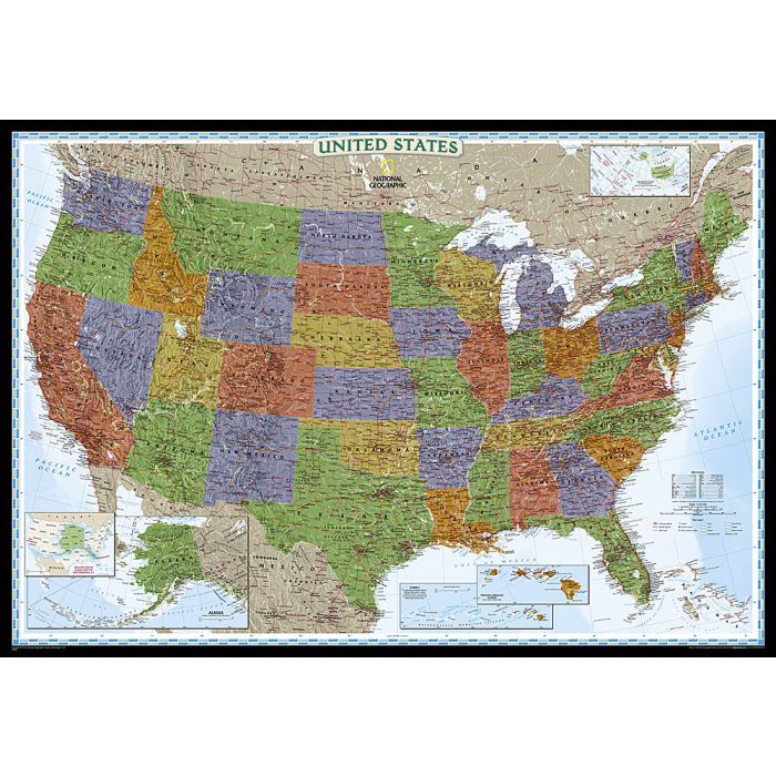
National Geographic's Decorator style map of the United States features rich, attractive color fills that bring any room or classroom to life. The map clearly highlights the differences in the urban and physical geography of each state, and national parks are outlined with eye-catching green vignettes. All 50 States are featured including insets for Alaska and the Hawaiian Islands. An inset demonstrating the relative size of Alaska is shown as well. All major cities, transportation routes, State boundaries, inland waterways, and mountain ranges are clearly displayed and labeled.
Enlarged maps provide an immersive experience in any home or office environment. The exceptional cartography is even easier to appreciate at the larger size. The map is encapsulated in heavy-duty 1.6 mil laminate which makes the paper much more durable and resistant to the swelling and shrinking caused by changes in humidity. Laminated maps can be framed without the need for glass, so the frames can be much lighter and less expensive.
Please note that these maps come rolled in a tube and are oversized. As such they attract an extra carriage charge of ?10 (non-trade customers only).