We use cookies to make your experience better. To comply with the new e-Privacy directive, we need to ask for your consent to set the cookies. Learn more
United States Adventure Map
£14.95
In Stock
Usually dispatched within 24 hrs. Free delivery to UK for orders £25 and over
| Cordee Code: | NG0896 |
|---|---|
| Page Size: | 110 x 230 mm |
| No of Pages: | 1 |
| Publisher: | National Geographic Maps |
| ISBN13: | 9781566959711 |
| Published Date: | April 2025 |
| Edition: | April 2025 |
| Binding: | Sheet Map (folded) |
| Weight: | 40g |
| Product Type: | Map |
| Countries: | United States of America |
? Waterproof ? Tear-Resistant ? Travel Map
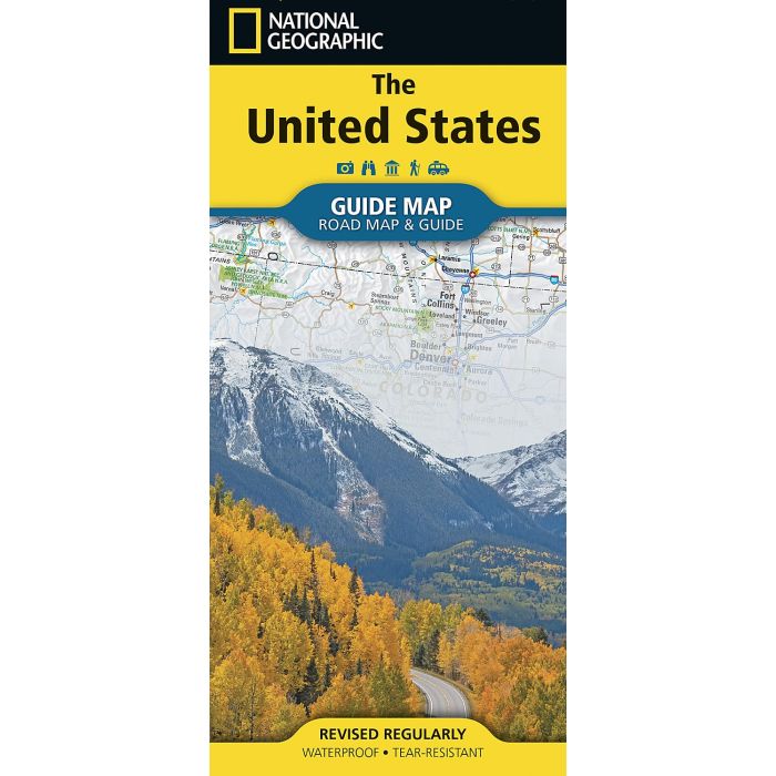
National Geographic?s map of the United States presents the entire country on the map side, offering a clear and informative view of the nation?s geography and transportation network. National parks are highlighted alongside major freeways, tollways, and primary and secondary highways, making it easy to plan long-distance journeys or navigate regional routes. Cities and towns are clearly labeled and supported by a convenient index for quick reference across the country.
The theme side complements the map with a rich mix of travel information organized by region. It features a curated selection of points of interest, scenic drives, and vivid photography that brings each area to life. Together, the map and themed content create an engaging and practical resource for trip planning, exploration, and discovering the diverse landscapes and destinations of the United States.
Every State Guide Map is printed on durable synthetic paper, making them waterproof, tear-resistant and tough ? capable of withstanding the rigors of any kind of travel.