We use cookies to make your experience better. To comply with the new e-Privacy directive, we need to ask for your consent to set the cookies. Read our privacy and security policy

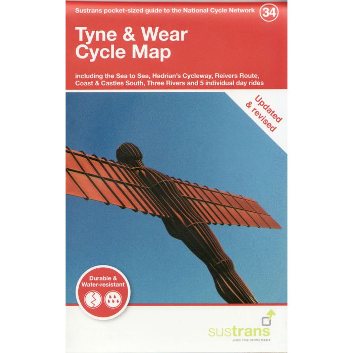
Tyne and Wear Cycle Map 34
incl Sea to Sea, Hadrian's Cleway, Reivers Route ...
£8.70
In Stock
Usually dispatched within 24 hrs. Free delivery to UK for orders £25 and over
| Cordee Code: | CCY445 |
|---|---|
| Page Size: | 100 x 160 mm |
| No of Pages: | 2 |
| Publisher: | Walk Wheel Cycle Trust |
| ISBN13: | 9781914410086 |
| Scale: | 1:110 000 |
| Published Date: | June 2021 |
| Binding: | Sheet Map (folded) |
| Illustrations: | Full colour mapping |
| Weight: | 50g |
| Product Type: | Map |
Sustrans' Tyne & Wear cycle map shows the National Cycle Network and local routes in this area. It covers the Tyne and Wear and south Northumberland region in the north east of England, including Newcastle upon Tyne, Gateshead, Sunderland, Chester-le-Street, Consett and Hexham.