We use cookies to make your experience better. To comply with the new e-Privacy directive, we need to ask for your consent to set the cookies. Learn more
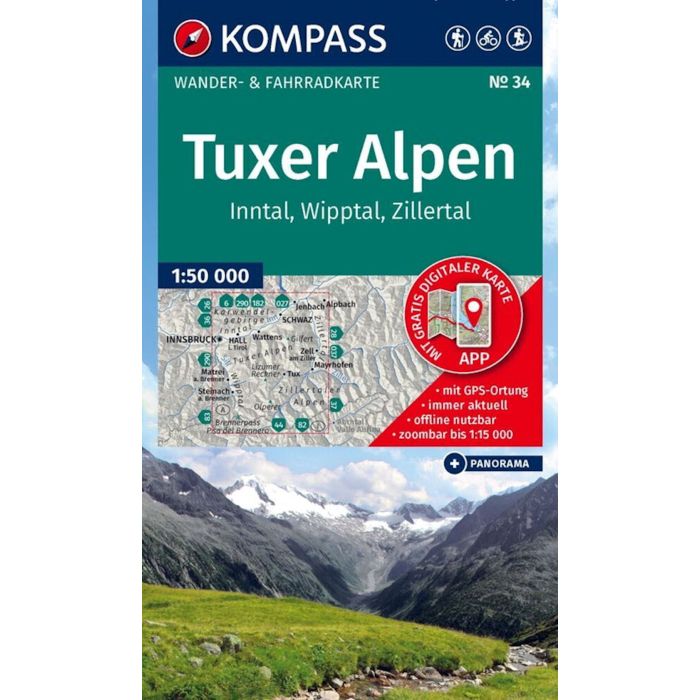
Tuxer Alpen, Inntal, Wipptal, Zillertal K34
1:50,000 map
£15.95
Temp Out Of Stock
| Cordee Code: | KP0034 |
|---|---|
| Page Size: | 110 x 185 mm |
| No of Pages: | 2 |
| Publisher: | Kompass Maps |
| ISBN13: | 9783991544777 |
| Published Date: | January 2026 |
| Edition: | 2026 |
| Binding: | Sheet Map (folded) In Wallet |
| Weight: | 120g |
| Product Type: | Map |
| Countries: | Austria |
Hiking map Tux Alps, Inn Valley, Wipp Valley, Zillertal: The map for hiking, cycling, and many other outdoor activities.
Kompass hiking maps are easy to read yet contain all the information you need for a perfect hike, bike ride, or day trip. They depict the landscape at the appropriate scale. Countless additional details are continuously reviewed and expanded by the cartography team. The precise cartography includes all official hiking trails with names and trail numbers (such as long-distance trails), bike paths (including trails), via ferratas, inns and mountain huts, parking areas, bus and train connections, ski tours and cross-country ski trails, springs, swimming spots, and much more. This makes the map ideal for discovering new destinations, planning tours, and navigating on the go. An intuitive map image of the landscape is created by the depicted vegetation, contour lines, rock formations, and the shading (shadowing) of the mountains.
Features of the hiking map Tux Alps, Inn Valley, Wipp Valley, Zillertal:
- Scale 1:50,000: 1 cm on the main map corresponds to 500 m in reality
- Thanks to the tear-resistant and weatherproof paper, the map withstands all weather conditions
- Map section can also be used offline in the Kompass hiking map app
. About the region: The Tux Alps in Tyrol stretch across the Inn Valley, the Wipp Valley, and the Zillertal Valley and are home to imposing peaks such as the Olperer. Numerous hiking trails through alpine landscapes invite exploration. Although often overshadowed by the glaciated three-thousand-meter peaks, the Tux Alps have much to offer: from wonderful hiking summits and traditional alpine pastures to small lakes and breathtaking viewpoints. For hikers between the Brenner motorway and the Zillertal tourist hotspots, they offer a tranquil mountain landscape.