We use cookies to make your experience better. To comply with the new e-Privacy directive, we need to ask for your consent to set the cookies. Learn more
Rondane 1:50 000
£18.99
In Stock
Usually dispatched within 24 hrs. Free delivery to UK for orders £25 and over
| Cordee Code: | CMV356 |
|---|---|
| Page Size: | 130 x 210 mm |
| No of Pages: | 2 |
| Publisher: | Calazo Forlag Ab |
| ISBN13: | 9789189371682 |
| Binding: | Sheet Map (folded) |
| Weight: | 50g |
| Product Type: | Map |
| Countries: | Norway |
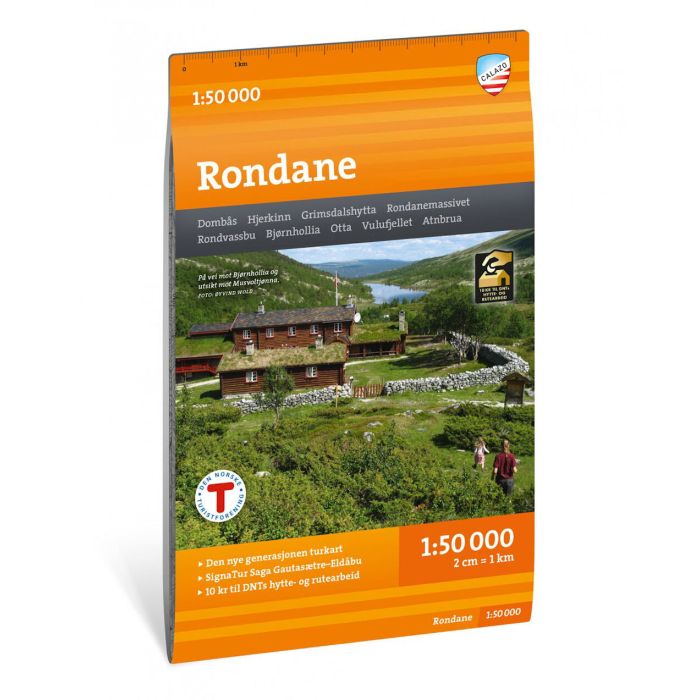
With map views on both the front and back, this map covers all of Norway's oldest national park Rondane, with classic hiking destinations such as Rondvassbu, Bjornhollia, Rondeslottet (2178 m) and Hogronden (2115 m). This is part of the modern Calazo map series, with unique terrain information based on laser scanning from aircraft and improved accuracy in detail. Among other things, we have used detailed aerial photos to correct all trails in the area. We have also identified and added many trails that were missing from the official databases. The map covers all the most popular mountain areas, marked hiking routes in the area, DNT cabins and private overnight cabins. It shows marked summer routes in the area, and works just as well in winter with marked winter routes and groomed ski trails. Maps on both sides: 70x100 cm The map is made of the material Tyvek, which is water-resistant, tear-resistant and lightweight.