We use cookies to make your experience better. To comply with the new e-Privacy directive, we need to ask for your consent to set the cookies. Learn more
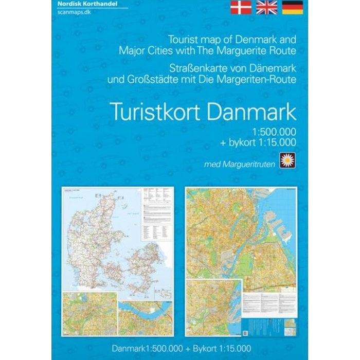
Tourist Map of Denmark
including Major Cities and the Marguerite Route
£13.99
In Stock
Usually dispatched within 24 hrs. Free delivery to UK for orders £25 and over
| Cordee Code: | CMV314 |
|---|---|
| Page Size: | 125 x 170 mm |
| Publisher: | Nordisk Korthandel |
| ISBN13: | 9788779671669 |
| Scale: | 1:500,000 |
| Published Date: | July 2020 |
| Edition: | 3rd ed, 2020 |
| Binding: | Sheet Map (folded) In Wallet |
| Weight: | 70g |
| Product Type: | Map |
| Countries: | Denmark |
Cycling Map of Denmark at 1:500,000 from Nordisk Korthandel showing the network of numbered national and regional cycle routes, other roads with cycle tracks, campsites and youth hostels, ferry connections with journey times, etc, plus on the reverse additional tourist information.
Plain unobtrusive base has colouring only for woodlands, sand dunes and tidal flats. Cycle routes clearly show their national or regional route numbers. The map also indicates other roads with cycle tracks as well as roads where cycling is prohibited. Symbols mark locations of camping places which accept only cyclists and hikers, general campsites and youth hostels. Ferry routes between Jutland and the islands indicate approximate journey times. The map has no geographical coordinates. An enlargement shows the Copenhagen area in greater detail.
The index of place names is on the reverse, together with general information on cycling in Denmark including notes on taking bicycles on trains. Map legend and all the text include English.