We use cookies to make your experience better. To comply with the new e-Privacy directive, we need to ask for your consent to set the cookies. Learn more
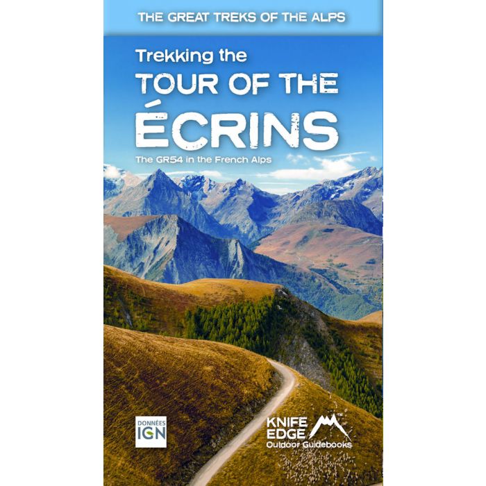
Tour of the Ecrins National Park GR54
real IGN maps 1:25,000
£18.99
In Stock
Usually dispatched within 24 hrs. Free delivery to UK for orders £25 and over
| Cordee Code: | CWE474 |
|---|---|
| Page Size: | 120 x 210 mm |
| No of Pages: | 116 |
| Publisher: | Knife Edge Outdoor |
| ISBN13: | 9781912933600 |
| Author: | Andrew McCluggage |
| Published Date: | May 2024 |
| Edition: | 2nd, April 2024 |
| Binding: | Paperback (flapped) |
| Illustrations: | Colour photos and IGN mapping |
| Weight: | 200g |
| Product Type: | Guide Books |
| Countries: | France |
The only English language guidebook for the GR54 has been completely rewritten and fully updated for 2024.
Real 1:25,000 Maps: IGN mapping included for each stage. This makes navigation easy and saves you money: no need to buy additional maps.
Also includes:
-Unique Itinerary Planner: plan a bespoke itinerary to match your ability and vacation schedule. All difficult calculations of time, distance and altitude gain are done for you
-4 Proposed Itineraries of between 9 and 12 days
-Detailed information on equipment and travelling light
-Everything the trekker needs to know to plan the route: route descriptions, costs, budget, difficulty, weather, how to get there, and more
-Full accommodation listings: spectacularly situated mountain huts, villages, hamlets and campsites
-Essential travel information
-Information for both self-guided and guided trekkers
-Numbered waypoints linking the Real Maps to our clear descriptions
The GR54: Tour of the Ecrins National Park is arguably the finest trek in the Alps. It is an epic journey around the unforgettable Ecrins which has the highest mountains in the French Alps outside of the Mont Blanc Massif. This is one of France's 'crown jewels' and yet is hardly known to the English-speaking world.
-193km
-9-12 days
-12,000m of altitude gain
-14 mountain passes
Unspoilt and remote high mountain terrain: snow frosted summits, beautiful valleys and pastures, sparkling azure lakes, carpets of wild flowers, the soothing sound of cow bells and easy to follow paths. This trek should be on your hiking bucket list.