We use cookies to make your experience better. To comply with the new e-Privacy directive, we need to ask for your consent to set the cookies. Learn more
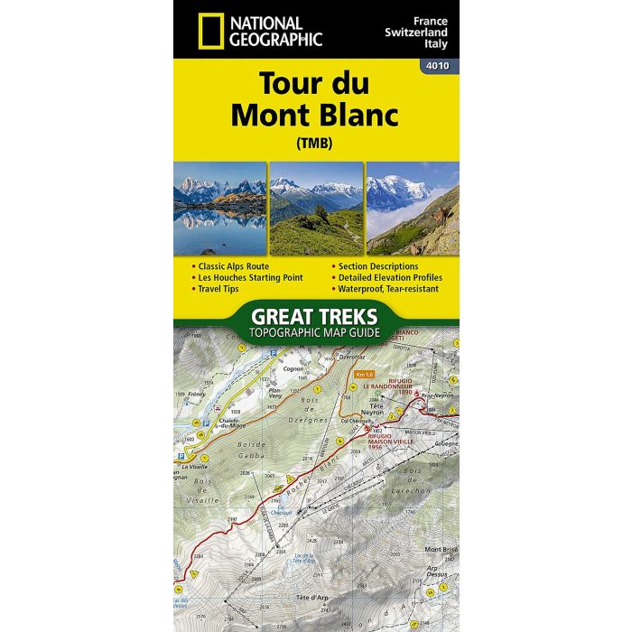
Tour du Mont Blanc Map
Trails Illustrated
£14.95
In Stock
Usually dispatched within 24 hrs. Free delivery to UK for orders £25 and over
| Cordee Code: | NG0885 |
|---|---|
| Page Size: | 110 x 240 mm |
| No of Pages: | 1 |
| Publisher: | National Geographic Maps |
| ISBN13: | 9781566959544 |
| Published Date: | January 2025 |
| Edition: | January 2025 |
| Binding: | Sheet Map (folded) |
| Weight: | 90g |
| Product Type: | Map |
| Countries: | France |
- Waterproof - Tear-Resistant - Topographic Map
Located in the northwetern Alps, between the Aosta Valley and Haute-Savoie, Mont Blanc is the highest mountain in Europe at 4,808 meters (15,774 feet). The central part of the Mont Blanc Massif, always snow-covered, consists of a mountain range that crosses Italy, France, and Switzerland. The Tour du Mont-Blanc (TMB) runs counterclockwise with start and finish in Les Houches, France. It covers approximately 170 km with clear signage, a 10,000-meter elevation gain (positive and negative), and takes 10 to 12 days to walk passing through France, Switzerland, and Italy.
Travelers will have a chance to admire the spectacular landscapes: vast glacier areas, meadows rich in diverse flora, fascinating lunar-like rock landscapes, alpine pastures, charming villages, and refuges offering a comfortable place to rest
The Tour du Mont-Blanc Topographic Map Guide booklet makes a perfect traveling companion when traversing this famous routes. A detailed description of each trail section is included that tells travelers about the many landmarks encountered along the way.