We use cookies to make your experience better. To comply with the new e-Privacy directive, we need to ask for your consent to set the cookies. Learn more
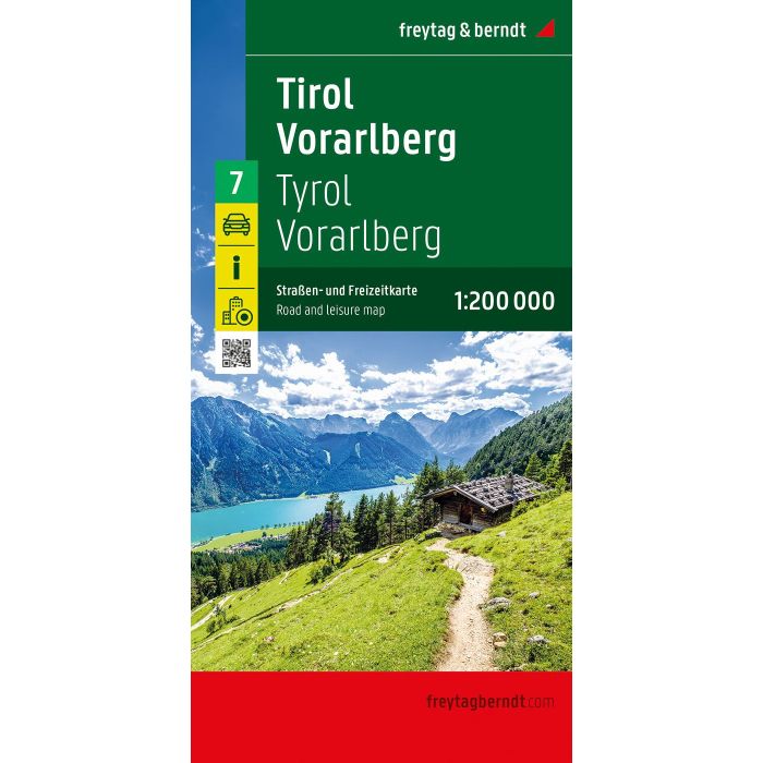
Tirol Vorarlmountain, Road and Leisure Map
1:200,000
£12.90
In Stock
Usually dispatched within 24 hrs. Free delivery to UK for orders £25 and over
| Cordee Code: | FB1721 |
|---|---|
| Page Size: | 130 x 255 mm |
| Publisher: | Freytag & Berndt |
| ISBN13: | 9783707923124 |
| Scale: | 1:200 000 |
| Published Date: | December 2025 |
| Binding: | Sheet Map (folded) |
| Weight: | 200g |
| Product Type: | Map |
| Countries: | Austria |
The road map of Tyrol and Vorarlberg at a scale of 1:200,000 is ideal for holidaymakers traveling by car, motorcycle, or caravan. The extensive road network is accurately depicted, and distances and numerous points of interest are marked on the map.
Information on the road map of Tyrol - Vorarlberg
Scale 1:200,000
Tourist information
Campsites and pitches
Local directory with postal codes
City maps of Bregenz and Innsbruck
approx. 135 x 96 cm
Car and motorcycle drivers particularly appreciate freytag & berndt's precise cartography for planning and orientation on site. Caravan and campervan owners will, of course, find all campsites and pitches on the map.
This map is sheet 7 of the map series Austria 1:200,000.
The map series Austria 1:200,000 consists of a total of 7 sheets:
Sheet 1: Lower Austria - Vienna;
Sheet 2: Upper Austria - Salzkammergut;
Sheet 3: Burgenland;
Sheet 4: Styria;
Sheet 5: Carinthia;
Sheet 6: Salzburg - Salzkammergut;
Sheet 7: Tyrol - Vorarlberg.
Printed in Austria.