We use cookies to make your experience better. To comply with the new e-Privacy directive, we need to ask for your consent to set the cookies. Learn more
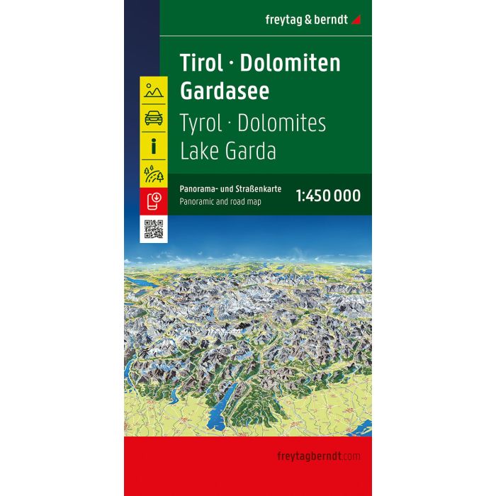
Tyrol Dolomites Lake Garda Panoramic and Road Map
1:450,000 scale
£12.90
In Stock
Usually dispatched within 24 hrs. Free delivery to UK for orders £25 and over
| Cordee Code: | FB1739 |
|---|---|
| Page Size: | 130 x 255 mm |
| No of Pages: | 2 |
| Publisher: | Freytag & Berndt |
| ISBN13: | 9783707920857 |
| Published Date: | March 2026 |
| Edition: | 2026 |
| Binding: | Sheet Map (folded) |
| Weight: | 150g |
| Product Type: | Map |
| Countries: | Italy |
The road map of Tyrol - Dolomites - Lake Garda - Panorama at a scale of 1:450,000 is ideal for holidaymakers traveling by car, motorcycle or caravan. The extensive road network is accurately depicted, and distances and numerous points of interest are marked on the map.
On the back is a hand-drawn panoramic map that offers a beautiful overview of the region.
Information on the road map Tyrol - Dolomites - Lake Garda - Panorama
Scale 1:450,000
Includes panoramic map
Tourist information
Alpenstrassen
Digital Ortsregister
Digital Gazetteer.
The digital gazetteer can be easily accessed via QR code.