We use cookies to make your experience better. To comply with the new e-Privacy directive, we need to ask for your consent to set the cookies. Learn more
Tinos map 1020
1:27,000
£9.50
In Stock
Usually dispatched within 24 hrs. Free delivery to UK for orders £25 and over
Tinos island landscape is like a hand made embroidery. Rural huts, dovecotes, churches, terraces and villages are woven into a net of trails.
| Cordee Code: | CMG189 |
|---|---|
| Publisher: | Anavasi |
| ISBN13: | 9789608195998 |
| Scale: | 1:27,000 |
| Author: | Anavasi |
| Published Date: | January 2013 |
| Edition: | 2013 |
| Binding: | Sheet Map (folded) |
| Weight: | 70g |
| Product Type: | Map |
| Countries: | Greece |
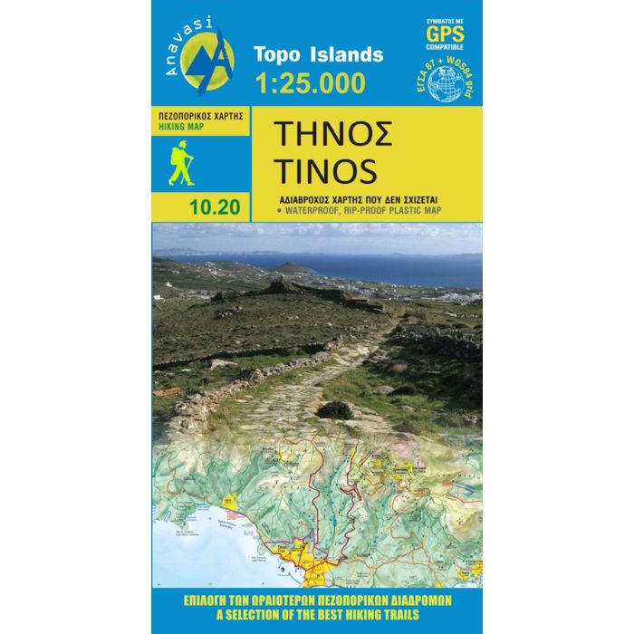
Tinos island landscape is like a hand made embroidery. Rural huts, dovecotes, churches, terraces and villages are woven into a net of trails. In the first edition of the map, along with my partner Charles Merlin we had recorded several dozens of kilometers of footpaths. From then until the present second edition, Charles made a bet and target to enrich the map in paths, - and put in the game and his friend George Kennedy. Actually the recorded paths, doubled, and plenty of churches, bridges, huts, dovecotes were added beside the paths. Along with the improvements in topographic background and color palette, the map of Tinos has reached very high standards - because we don't like the easy path. On the back side there are several proposed hiking trails with short descriptions and updated information for marking of the paths.