We use cookies to make your experience better. To comply with the new e-Privacy directive, we need to ask for your consent to set the cookies. Learn more

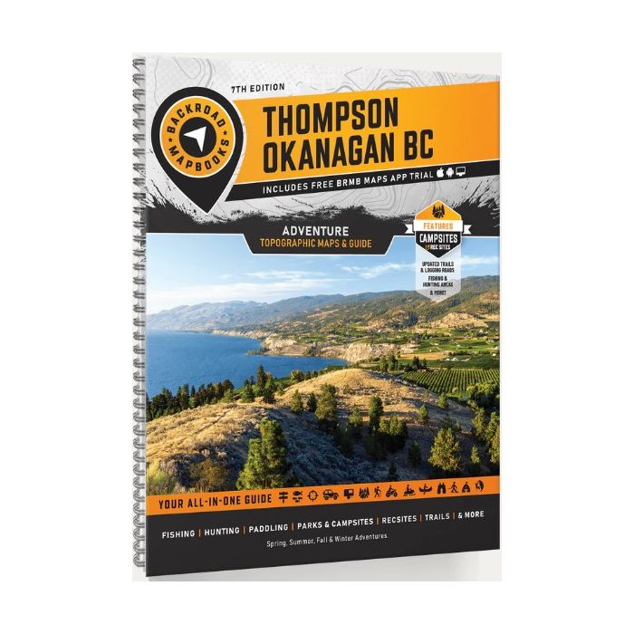
Thompson Okanagan BC Backroad Mapbook
£23.99
In Stock
Usually dispatched within 24 hrs. Free delivery to UK for orders £25 and over
| Cordee Code: | BRM003 |
|---|---|
| Page Size: | 215 x 280 mm |
| No of Pages: | 288 |
| Publisher: | Back Road Maps |
| ISBN13: | 9781989175422 |
| Scale: | 1: 200 000 |
| Published Date: | February 2026 |
| Edition: | 7th Edition |
| Binding: | Spiral/wirobound |
| Illustrations: | 51 maps @ 1:200,000 |
| Weight: | 600g |
| Product Type: | Map |
| Countries: | Canada |
From the watersport haven of Okanagan Lake and the desert beauty of Osoyoos, to the beaches of the Shuswap, lush forests of Manning Provincial Park, and the rugged wilderness of Wells Gray and Mount Robson, this region is a dream for outdoor enthusiasts. Whether youre into camping, hiking, fishing, ATVing, snowmobiling, hunting, cross-country skiing, or paddling, Backroad Mapbooks offers the most detailed and easy-to-use guide for navigating BCs wild heart.
This mapbook includes Cache Creek, Clearwater, Grand Forks, Kamloops, Kelowna, McBride, Merritt, Penticton, Princeton, Salmon Arm, Savona, Valemount, Vernon, & more
Highways, Logging Roads, Land & Water Features, Parks, Adventure Points of Interest, Campgrounds, Hiking Trails, Motorized Trails, Paddling Routes, Hunting & Fishing Areas, Winter Recreation and More.