We use cookies to make your experience better. To comply with the new e-Privacy directive, we need to ask for your consent to set the cookies. Learn more
The World for Kids Map Laminated
Kids; Reference Maps
£29.95
In Stock
Usually dispatched within 24 hrs. Free delivery to UK for orders £25 and over
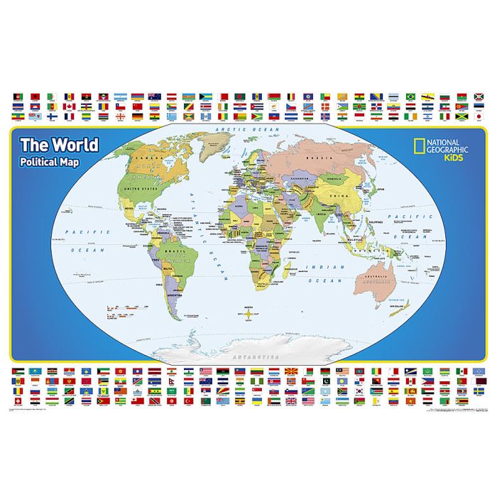
Expertly researched and designed, National Geographic's The World for Kids wall map is an enticing and engaging world map perfect for classroom, home or library.
| Cordee Code: | NG0765 |
|---|---|
| Page Size: | 910 x 610 mm |
| No of Pages: | 1 |
| Publisher: | National Geographic Maps |
| ISBN13: | 9781597755962 |
| Weight: | 350g |
| Product Type: | Others |
Dimensions: H61cm x W91cm
Recommended by geography educators for ages 7 - 12, this map features an optimized map design for readability and easy, intuitive learning. All 195 independent countries and their official, colorful flags are represented and arranged in alphabetical order for ease-of-use. Expertly researched, The World for Kids map is an essential reference tool for today's interesting geographical world. Drawn in the Winkel Tripel projection, distortions are minimized and unlike many other World maps, Greenland is show the same size as Argentina and not as the size of all of South America.
The map is encapsulated in heavy-duty 1.6 mil laminate which makes the paper much more durable and resistant to the swelling and shrinking caused by changes in humidity. Laminated maps can be framed without the need for glass, so the frames can be much lighter and less expensive.