We use cookies to make your experience better. To comply with the new e-Privacy directive, we need to ask for your consent to set the cookies. Learn more
The Wicklow Way Map amp Guide
Clonegal to Dublin (South To North)
£12.99
In Stock
Usually dispatched within 24 hrs. Free delivery to UK for orders £25 and over
| Cordee Code: | CWI225 |
|---|---|
| Page Size: | 148 x 210 mm |
| No of Pages: | 40 |
| Publisher: | Eastwest Mapping |
| ISBN13: | 9781899815364 |
| Published Date: | March 2016 |
| Edition: | 2016 1st edition |
| Binding: | Paperback |
| Illustrations: | colour photos and maps |
| Weight: | 100g |
| Product Type: | Map and Guide |
| Countries: | Ireland |
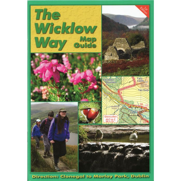
The Wicklow Way is one of the longest established and most popular walking routes in Ireland. The route traverses many wooded glens along the eastern flank of the Dublin & Wicklow hills with distant views of the Irish Sea. Dublin city to Clonegal in Co.Carlow: 132 kilometres. Total ascent of 3500 metres.
This guidebook provides all you need to walk The Wicklow Way. The maps & text are arranged to suit those walking from Clonegal towards Dublin. See the other publication The Wicklow Way if walking Dublin towards Clonegal. The definitive map guide comprises of a detailed 40 page booklet with full colour 1/50000 scale strip maps packaged in plastic wallet. Information on local and natural history, routefinding and services.
There is a bus service that connects the railway station at Rathdrum (Dublin Rosslare line) to Laragh, Glenmalure & Tinahely.
-
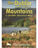 Dublin & North Wicklow Mountains Map 1:30,000***water resistant paper***£12.99
CME251
Temp Out Of StockOut of stock