We use cookies to make your experience better. To comply with the new e-Privacy directive, we need to ask for your consent to set the cookies. Learn more
The Thames Path Map Booklet
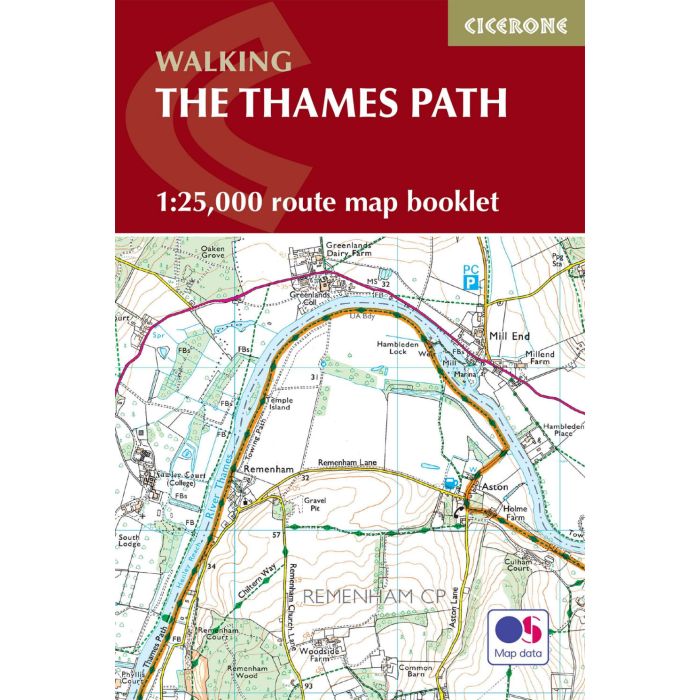
1 :25,000 OS Route Map Booklet
£12.95
In Stock
Usually dispatched within 24 hrs. Free delivery to UK for orders £25 and over
| Cordee Code: | CP0389 |
|---|---|
| Page Size: | 116 x 172 mm |
| No of Pages: | 96 |
| Publisher: | Cicerone Press |
| ISBN13: | 9781786311498 |
| Scale: | 1:25 000 |
| Author: | Leigh Hatts |
| Published Date: | April 2023 |
| Edition: | 2nd Ed, April 2023 |
| Binding: | Paperback |
| Illustrations: | Colour 1:25 000 |
| Weight: | 110g |
| Product Type: | Map |
| Countries: | United Kingdom |
Map of the 182 mile (290km) Thames Path National Trail, from the Woolwich Foot Tunnel in London to the river's source near Cirencester in Gloucestershire. This booklet is included with the Cicerone guidebook to the trail, and shows the full route on OS 1:25,000 maps. The easy riverside route takes around two weeks to walk.