We use cookies to make your experience better. To comply with the new e-Privacy directive, we need to ask for your consent to set the cookies. Learn more
The Speyside Way Footprint Map
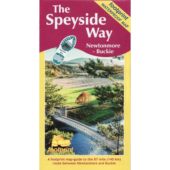
Newtonmore to Buckie
£10.95
In Stock
Usually dispatched within 24 hrs. Free delivery to UK for orders £25 and over
The Speyside Way is one of Scotland's four official long distance footpaths and runs between between Aviemore and Buckie on the Moray Firth passing through some of Scotland's most beautiful landscapes.
This folded strip-map from Footprint is printed on waterproof paper and comes in durable slipcase. It provides compact and concise information for walkers with new maps of the whole 87 mile (140km) route, based on OS data.
This folded strip-map from Footprint is printed on waterproof paper and comes in durable slipcase. It provides compact and concise information for walkers with new maps of the whole 87 mile (140km) route, based on OS data.
| Cordee Code: | CWN498 |
|---|---|
| Page Size: | 120 x 225 mm |
| No of Pages: | 1 |
| Publisher: | Stirling Surveys |
| ISBN13: | 9781871149975 |
| Scale: | 1:40 000 |
| Author: | Footprint Map |
| Edition: | 2019 edition |
| Binding: | Sheet Map (folded) In Wallet |
| Illustrations: | Colour mapping |
| Weight: | 40g |
| Product Type: | Map |
| Countries: | Scotland |
The Speyside Way is one of Scotland's four official long distance footpaths and runs between Aviemore and Buckie on the Moray Firth passing through some of Scotland's most beautiful landscapes.
This folded strip-map from Footprint is printed on waterproof paper and comes in durable slipcase. It provides compact and concise information for walkers with new maps of the whole 87 mile (140km) route, based on OS data.
This folded strip-map from Footprint is printed on waterproof paper and comes in durable slipcase. It provides compact and concise information for walkers with new maps of the whole 87 mile (140km) route, based on OS data.