We use cookies to make your experience better. To comply with the new e-Privacy directive, we need to ask for your consent to set the cookies. Learn more
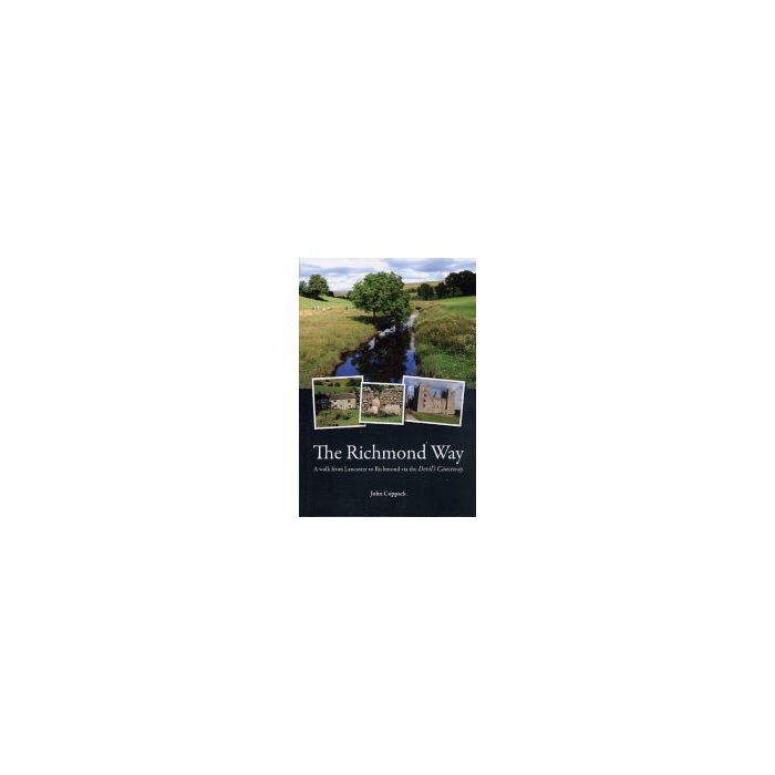
The Richmond Way
Walk from Lancaster to Richmond via Devil's Causeway
£11.99
In Stock
Usually dispatched within 24 hrs. Free delivery to UK for orders £25 and over
| Cordee Code: | CWP646 |
|---|---|
| Page Size: | 130 x 190 mm |
| No of Pages: | 152 |
| Publisher: | Follifoot Publishing Ltd |
| ISBN13: | 9780956246806 |
| Author: | John Coppack |
| Language: | English |
| Published Date: | August 2009 |
| Binding: | Paperback |
| Illustrations: | colour maps and photos |
| Weight: | 270g |
| Product Type: | Guide Books |
| Countries: | United Kingdom |
Brief Description:
This guidebook provides clear, easy to follow route directions for the 60 ? mile-long Richmond Way, passing through a unique area of Northern England. This is a linear walk starting from the main gate of Lancaster Castle and ending below the great keep of Richmond Castle in North Yorkshire. The walk encompasses sections of the Lower Lune Valley, the limestone country around Ingleborough and Whernside, the moorlands and fells of the central Pennines and the central and northern valleys of the Yorkshire Dales National Park.
The Richmond Way does not exist in a formal sense; it does not have the status of an officially recognised trail and the walker will not find any reference to it on any waymarkers or signposts. Nevertheless, the route, devised and tested by the author over a number of years is along public rights of way that in the main are well waymarked.
The route is almost entirely along field, woodland and riverside paths, ancient tracks and quiet country lanes. A strong walk