We use cookies to make your experience better. To comply with the new e-Privacy directive, we need to ask for your consent to set the cookies. Learn more
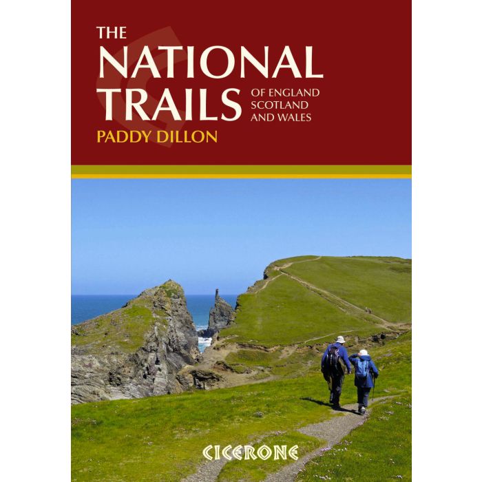
The National Trails
of England, Scotland and Wales
£18.95
In Stock
Usually dispatched within 24 hrs. Free delivery to UK for orders £25 and over
| Cordee Code: | CP0059 |
|---|---|
| Page Size: | 170 x 240 mm |
| No of Pages: | 264 |
| Publisher: | Cicerone Press |
| ISBN13: | 9781852847883 |
| Author: | Paddy Dillon |
| Published Date: | September 2015 |
| Edition: | 2nd ed , Sep-2015 |
| Binding: | Paperback (flapped) |
| Illustrations: | colour photos & maps |
| Weight: | 810g |
| Product Type: | Guide Books |
| Countries: | United Kingdom |
Inspirational guidebook to Britain's National Trails - 19 long-distance walking routes through England, Wales and Scotland. Together, these routes (National Trails in England and Wales and Scotland's Great Trails) cover well over 3100 miles (5000km), exploring the rich scenic and historic countryside of Britain.
This larger-format guide explores the full breadth of the network, including the popular South West Coast Path, Hadrian's Wall Path, West Highland Way, Cotswold Way, Offa's Dyke Path, South Downs Way, Southern Upland Way and many others exploring the beauty and wild country of the British Isles. Outline schedules for each Trail allow you compare the routes and become inspired to take up the challenge, whether on a relatively short or easy trail, or to tackle a longer, more strenuous route. Basic day-by-day route descriptions for each Trail are illustrated with maps and profiles. Information is provided on access to and from the routes, maps, public transport, guidebooks, TICs, accommodation and useful websites.
This larger-format guide explores the full breadth of the network, including the popular South West Coast Path, Hadrian's Wall Path, West Highland Way, Cotswold Way, Offa's Dyke Path, South Downs Way, Southern Upland Way and many others exploring the beauty and wild country of the British Isles. Outline schedules for each Trail allow you compare the routes and become inspired to take up the challenge, whether on a relatively short or easy trail, or to tackle a longer, more strenuous route. Basic day-by-day route descriptions for each Trail are illustrated with maps and profiles. Information is provided on access to and from the routes, maps, public transport, guidebooks, TICs, accommodation and useful websites.

