We use cookies to make your experience better. To comply with the new e-Privacy directive, we need to ask for your consent to set the cookies. Learn more
The Leicestershire Round
£9.95
In Stock
Usually dispatched within 24 hrs. Free delivery to UK for orders £25 and over
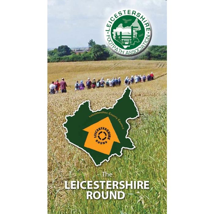
The Leicestershire Round guidebook takes you on a tour of 100 miles around the county. The route includes many highlights of Leicestershire: Charnwood Forest, Bradgate Park, Burrough Hill Iron Age Fort, Foxton Locks, Burbage Common and Bosworth Battlefield Centre. It visits pretty villages, varied countryside and passes through a part of the National Forest. The guide offers a detailed description of the route alongside maps taken from Ordnance Survey 1:25,000 maps.
| Cordee Code: | CWS635 |
|---|---|
| Page Size: | 220 x 130 mm |
| No of Pages: | 114 |
| Publisher: | Leicestershire Footpath Association |
| ISBN13: | 9781527206229 |
| Author: | Leicestershire Footpath Association |
| Published Date: | September 2020 |
| Edition: | Revd reprint 2022 |
| Binding: | Spiral/wirobound |
| Illustrations: | Colour maps and photos |
| Weight: | 230g |
| Product Type: | Guide Books |
| Countries: | United Kingdom |
The Leicestershire Round guide 2017 takes you on a tour of 100 miles around the county. The route includes many highlights of Leicestershire: Charnwood Forest, Bradgate Park, Burrough Hill Iron Age Fort, Foxton Locks, Burbage Common and Bosworth Battlefield Centre. It visits pretty villages, varied countryside and passes through a part of the National Forest.
The guide offers a detailed description of the route alongside maps taken from the popular Ordnance Survey 1:25,000 maps. Photographs and text invite you to points of interest along the way. The book is spiral bound for ease of use in a protective map case.
The walk was originally devised by members of the Leicestershire Footpath Association (LFA) to mark the centenary of their organisation in 1987, one hundred miles to mark one hundred years. This 2017 guide is a complete update including minor alterations to the route.
The Round is on the doorstep of a large urban population including Leicester, Loughborough, Melton Mowbray, Market Harborough, Hinckley and Coalville. The section from Barwell to Frisby on the Wreake (40 miles) is especially easy to access by public transport.
The route has always had the support of Leicestershire County Council and is well maintained by them with the installation of gates, yellow topped posts and ditch crossings. The route is shown as a Recreational Route on Ordnance Survey maps. Distinctive waymarking is now carried out by wardens, coordinated by the LFA.