We use cookies to make your experience better. To comply with the new e-Privacy directive, we need to ask for your consent to set the cookies. Learn more
The Kendal Limestone Way
A walk from Skipton to Kendal via...
£14.99
In Stock
Usually dispatched within 24 hrs. Free delivery to UK for orders £25 and over
The Kendal Limestone Way is a 63 mile (101km) long linear walk from the market town of Skipton in North Yorkshire to the south Lake District town of Kendal. The route takes the walker through Malham, Settle, Ingleton, Kirkby Lonsdale and Levens Bridge. This guidebook provides clear, easy to follow route descriptions supported by 25 maps and 92 colour photos dedicated to route navigation as well as a wealth of practical information and safety advice.
| Cordee Code: | CWP754 |
|---|---|
| Page Size: | 148 x 210 mm |
| No of Pages: | 136 |
| Publisher: | Follifoot Publishing Ltd |
| ISBN13: | 9780956246844 |
| Author: | John Coppack |
| Published Date: | March 2016 |
| Edition: | 1st ed, March 2016 |
| Binding: | Paperback |
| Illustrations: | colour maps and photos |
| Weight: | 290g |
| Product Type: | Guide Books |
| Countries: | United Kingdom |
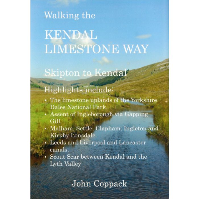
The Kendal Limestone Way is a 63 mile (101km) long linear walk from the market town of Skipton in North Yorkshire to the south Lake District town of Kendal. The route takes the walker through Malham, Settle, Ingleton, Kirkby Lonsdale and Levens Bridge.
The main theme of the walk is limestone. Over millions of years major earthquakes have shaken the northern Pennines creating massive geological faults and fractures. To the north of the main fault line lies the porous limestone uplands of the Yorkshire Dales National Park where rugged hills and towering cliffs of pearl white limestone dominate the landscape. A limestone landscape is also present in the south-eastern corner of Cumbria where precipitous limestone ridges form a barriier between the lakeland hills and Morecambe Bay.
The route taken by the Kendal Limestone Way explores this remarkable limestone landscape of northern England.
This guidebook provides clear, easy to follow route descriptions supported by 25 maps dedicated to route navigation as well as a wealth of practical information and safety advice. Features of historical, archeological and geographical interest along the the route are highlighted and captured by 92 colour photographs.