We use cookies to make your experience better. To comply with the new e-Privacy directive, we need to ask for your consent to set the cookies. Learn more
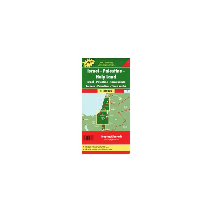
The Holy land Israel Palestein, Automap 1:150000, Top 1
£12.90
In Stock
Usually dispatched within 24 hrs. Free delivery to UK for orders £25 and over
| Cordee Code: | FB0348 |
|---|---|
| Page Size: | 130 x 255 mm |
| Publisher: | Freytag & Berndt |
| ISBN13: | 9783707907766 |
| Published Date: | April 2018 |
| Binding: | Sheet Map (folded) |
| Weight: | 200g |
| Product Type: | Map |
| Countries: | Israel |
In addition to the clear design, the road map "Holy Land - Israel - Palestine, 1:150.0000" offers a lot of additional information such as the condition of the streets, sights, campsites and a map of the city centre. The extensive location index also enables quick orientation. - Street map 1:150,000 - Top 10 tips - Jerusalem city map - register of places - long-distance hiking trails - double-sided The "Top 10 Tips" series offers a small booklet in which the ten most important sights are briefly described in several languages. (Languages: German, English, French, Italian, Dutch, Slovak, Spanish, Czech, Hungarian) freytag & berndt car maps are available for many countries and regions worldwide.