We use cookies to make your experience better. To comply with the new e-Privacy directive, we need to ask for your consent to set the cookies. Learn more

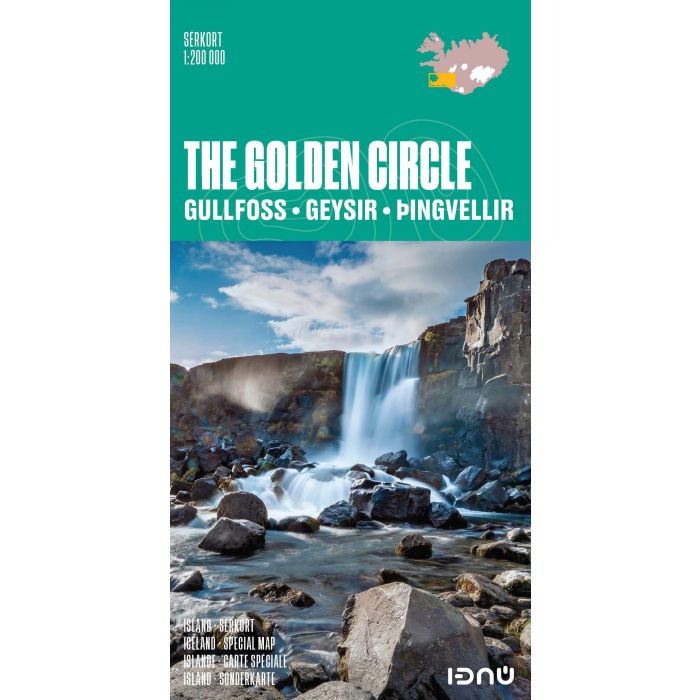
The Golden Circle IDNU Map
Gullfoss - Geysir - Thingvellir
£17.99
Temp Out Of Stock
| Cordee Code: | CMV632 |
|---|---|
| Page Size: | 115 x 220 mm |
| No of Pages: | 2 |
| Publisher: | Idnu Publishing |
| ISBN13: | 9789979675082 |
| Published Date: | April 2017 |
| Edition: | 2017 |
| Binding: | Sheet Map (folded) |
| Product Type: | Map |
| Countries: | Iceland |
The Golden Circle map from Iceland's topographic survey organization shows at 1:200,000 the famous sites in country's most visited area, within easy reach from Reykjavik: Pingvellir National Park, the Blue Lagoon, Gullfoss waterfalls and Geysir hot springs. The map presents the area's road network, including unmaintained tracks, and indicates locations of fuel stations and fords across local rivers. The four main sites are prominently marked and a range of symbols highlight other places of interest and various facilities, including hotels and pensions, huts and lodges, campsites, emergency shelters, sport and recreational facilities, etc.
The base map is contoured and carries an exceptional amount of topographic information shown by colouring and/or graphics, vegetation, lava zones, marshland and swamps, etc. Latitude lines are drawn at 15' intervals, with longitude at 20'. Map legend and brief descriptions of the four main sites include English.
The base map is contoured and carries an exceptional amount of topographic information shown by colouring and/or graphics, vegetation, lava zones, marshland and swamps, etc. Latitude lines are drawn at 15' intervals, with longitude at 20'. Map legend and brief descriptions of the four main sites include English.