We use cookies to make your experience better. To comply with the new e-Privacy directive, we need to ask for your consent to set the cookies. Read our privacy and security policy

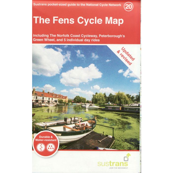
The Fens Cycle Map 20
Norfolk Coast Cycleway, Peterboroughs Green Wheel ...
£8.70
In Stock
Usually dispatched within 24 hrs. Free delivery to UK for orders £25 and over
| Cordee Code: | CCY423 |
|---|---|
| Page Size: | 100 x 160 mm |
| No of Pages: | 2 |
| Publisher: | Walk Wheel Cycle Trust |
| ISBN13: | 9781910845851 |
| Scale: | 1:110 000 |
| Published Date: | May 2021 |
| Binding: | Sheet Map (folded) |
| Illustrations: | Full colour mapping |
| Weight: | 50g |
| Product Type: | Map |
Directly across the North Sea from the low-lying lands of the Netherlands is a similar English landscape known as The Fens. This region of England was once fresh or salt water wetlands drained many centuries ago for its fertile soil. Like the Netherlands, the area provides excellent terrain for cycling with some of the flattest, longest and straightest sections of road in Europe. This includes a superb section of National Cycle Network Route 1, the longest overall National Cycle Route, running from Ingoldisthorpe to Boston via King?s Lynn and Wisbech on this map. This route is also part of the 6000km North Sea Cycle Route that attracts thousands of riders from overseas.
The only city in this remarkably rural area is Peterborough which lies on the River Nene approximately 30 miles from its mouth in the Wash. Peterborough is blessed with an excellent network of traffic-free cycle routes including the Green Wheel cycle route which circles the city. Peterborough also acts as the local hub of National Cycle Network. National Route 63 runs through the city from Oakham in the West, to Wisbech in the East. National Route 12 winds though the city from Spalding further north, and to Stilton and beyond heading south. For a ride brimming with wildlife and ideal for families, Rutland Water offers 26 miles of largely traffic-free cycle routes around the internationally famous nature reserve.
The Fens stretch across several counties and cover around one million acres. It is an impressive landscape, and travelling along you can see for miles, with wide skies, ever changing their colourful hues, showing magnificent sunsets. The Fens is also home to the UK?s lowest land point at Holme Fen at 2.75 metres below sea level. The whole area provides a unique and memorable cycling landscape that will draw riders back time and time again.
This pocket-sized colour map shows clearly mapped on-road and traffic-free paths, easy to read contours, and detailed inset maps for the major towns and cities as well as recommended linking routes connecting the NCN with quiet roads. The map also features 5 day rides with directions and a description of the area, highlighting key cycle routes, local history and places of interest.
The only city in this remarkably rural area is Peterborough which lies on the River Nene approximately 30 miles from its mouth in the Wash. Peterborough is blessed with an excellent network of traffic-free cycle routes including the Green Wheel cycle route which circles the city. Peterborough also acts as the local hub of National Cycle Network. National Route 63 runs through the city from Oakham in the West, to Wisbech in the East. National Route 12 winds though the city from Spalding further north, and to Stilton and beyond heading south. For a ride brimming with wildlife and ideal for families, Rutland Water offers 26 miles of largely traffic-free cycle routes around the internationally famous nature reserve.
The Fens stretch across several counties and cover around one million acres. It is an impressive landscape, and travelling along you can see for miles, with wide skies, ever changing their colourful hues, showing magnificent sunsets. The Fens is also home to the UK?s lowest land point at Holme Fen at 2.75 metres below sea level. The whole area provides a unique and memorable cycling landscape that will draw riders back time and time again.
This pocket-sized colour map shows clearly mapped on-road and traffic-free paths, easy to read contours, and detailed inset maps for the major towns and cities as well as recommended linking routes connecting the NCN with quiet roads. The map also features 5 day rides with directions and a description of the area, highlighting key cycle routes, local history and places of interest.