We use cookies to make your experience better. To comply with the new e-Privacy directive, we need to ask for your consent to set the cookies. Learn more
The Cleveland Way Map Booklet
£9.95
In Stock
Usually dispatched within 24 hrs. Free delivery to UK for orders £25 and over
| Cordee Code: | CP0442 |
|---|---|
| Page Size: | 106 x 166 mm |
| No of Pages: | 64 |
| Publisher: | Cicerone Press |
| ISBN13: | 9781786312228 |
| Scale: | 1:25 000 |
| Published Date: | May 2024 |
| Edition: | 3rd, May 2024 |
| Binding: | Paperback (flapped) |
| Illustrations: | Colour 1:25 000 map booklet |
| Product Type: | Map |
A guidebook to the Cleveland Way and Yorkshire Wolds Way National Trails and the Tabular Hills Walk. All set within the North York Moors National Park, these straightforward routes can be walked individually in about 1 week or combined to form a long-distance walk of 405km (252 miles) taking 3 weeks.
The Cleveland Way wraps its way around the national park covering 117km (110 miles) between Helmsley and Filey. The route is presented in 9 stages between 15 and 28km (10-17 miles) in length.
Also contains route descriptions of the Yorkshire Wolds Way (130km, 80 miles) and the Tabular Hills Walk (80km, 50 miles)
Contains step-by-step description of the route alongside 1:50,000 OS maps
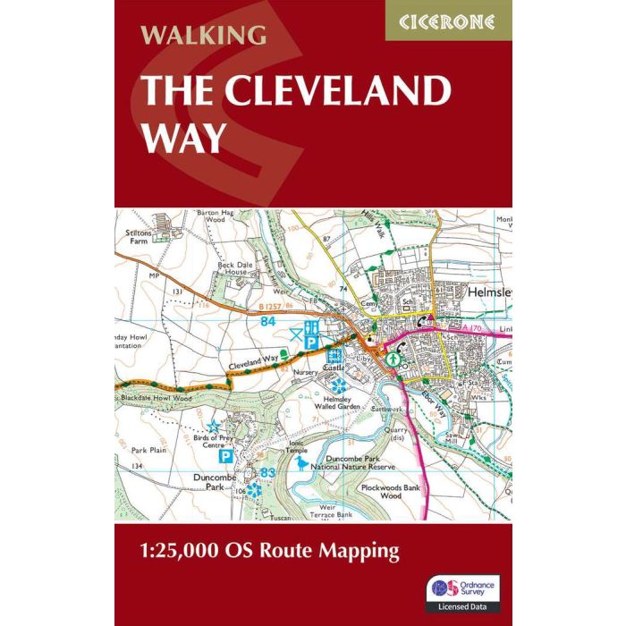
Includes a separate map booklet containing OS 1:25,000 mapping and route line for the Cleveland Way
The book features a trek planner that highlights information about accommodation, facilities and public transport along the route
GPX files available to download
The Cleveland Way wraps its way around the national park covering 117km (110 miles) between Helmsley and Filey. The route is presented in 9 stages between 15 and 28km (10-17 miles) in length.
Also contains route descriptions of the Yorkshire Wolds Way (130km, 80 miles) and the Tabular Hills Walk (80km, 50 miles)
Contains step-by-step description of the route alongside 1:50,000 OS maps
Includes a separate map booklet containing OS 1:25,000 mapping and route line for the Cleveland Way
The book features a trek planner that highlights information about accommodation, facilities and public transport along the route
GPX files available to download