We use cookies to make your experience better. To comply with the new e-Privacy directive, we need to ask for your consent to set the cookies. Read our privacy and security policy

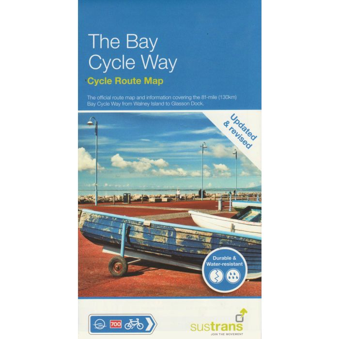
The Bay Cycle Way Cycle Route Map
81 mile route from Walney Island to Glasson
£10.99
In Stock
Usually dispatched within 24 hrs. Free delivery to UK for orders £25 and over
The official route map and information covering the 81-mile (130km ) Bay Cycle Way from Walney Island to Glasson Dock.
| Cordee Code: | CCY483 |
|---|---|
| Page Size: | 125 x 235 mm |
| Publisher: | Walk Wheel Cycle Trust |
| ISBN13: | 9781914410291 |
| Scale: | 1:70 000 |
| Binding: | Waterproof Map (folded) |
| Illustrations: | Colour mapping |
| Weight: | 30g |
| Product Type: | Map |
| Countries: | United Kingdom |
The official route map and information covering the 81-mile (130km ) Bay Cycle Way from Walney Island to Glasson Dock.
The Bay Cycle Way starts on Walney Island near Barrow and takes in the breathtaking scenery right round to Glasson Dock south of Lancaster. This relatively flat route hugs the spectacular coastline of Morecambe Bay along quiet roads, greenways, canal towpaths and promenades.
The Bay Cycle Way starts on Walney Island near Barrow and takes in the breathtaking scenery right round to Glasson Dock south of Lancaster. This relatively flat route hugs the spectacular coastline of Morecambe Bay along quiet roads, greenways, canal towpaths and promenades.
