We use cookies to make your experience better. To comply with the new e-Privacy directive, we need to ask for your consent to set the cookies. Learn more
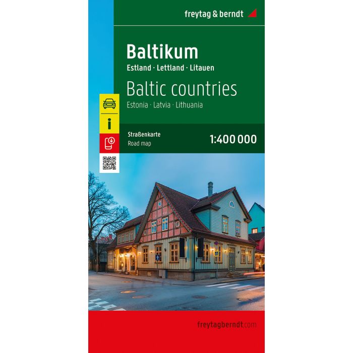
The Baltic States, Road map 1:400000
£12.90
Temp Out Of Stock
| Cordee Code: | FB1738 |
|---|---|
| Page Size: | 130 x 255 mm |
| No of Pages: | 2 |
| Publisher: | Freytag & Berndt |
| ISBN13: | 9783707924046 |
| Published Date: | March 2026 |
| Edition: | 2026 |
| Binding: | Sheet Map (folded) |
| Weight: | 200g |
| Product Type: | Map |
| Countries: | Estonia |
The Baltic States road map at a scale of 1:400,000 is an excellent resource for tourists planning to visit Estonia, Latvia, and Lithuania. The extensive road network is accurately depicted, and distances and numerous points of interest are marked on the map.
Information on the Baltic road map
Scale 1:400,000
Tourist information
Digital index with postal codes
campsites
Format: approx. 137 x 96 cm, double-sided
Digital Place Register
The digital place register can be conveniently accessed via QR code.
The ideal road map for the Baltic States.
Car and motorcycle drivers particularly appreciate freytag & berndt's precise cartography for route planning and on-site orientation. Camping enthusiasts will, of course, find all campsites on the map.