We use cookies to make your experience better. To comply with the new e-Privacy directive, we need to ask for your consent to set the cookies. Learn more
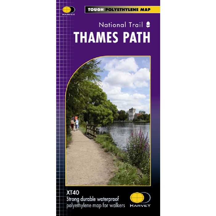
Thames Path National Trail Map
National Trail 1:60,000 XT40
£15.95
In Stock
Usually dispatched within 24 hrs. Free delivery to UK for orders £25 and over
The Thames Path follows the banks of the river for 184 miles (294KM) from the flood barrier at Woolwich in South East London to Kemble Gloucestershire. It is a long distance walking route, most of it cannot be cycled. The Trail passes through water meadows, historic towns & lovely villages. The path is flat which makes for easy walking. The map is detailed, with the routes clearly marked. It also contains general information, useful telephone numbers and a full key.
| Cordee Code: | CMH191 |
|---|---|
| Publisher: | Harvey Maps |
| ISBN13: | 9781851375127 |
| Scale: | 1:60,000 |
| Author: | Harvey Maps |
| Published Date: | March 2012 |
| Edition: | 1st |
| Binding: | Waterproof Map (folded) |
| Weight: | 60g |
| Product Type: | Map |
| Countries: | United Kingdom |
The Thames Path follows the banks of the river for 184 miles (294KM) from the flood barrier at Woolwich in South East London to Kemble Gloucestershire.
It is a long distance walking route, most of it cannot be cycled. The Trail passes through water meadows, historic towns & lovely villages. The path is flat which makes for easy walking.
Jos Joslin National Trails Manager (Marketing & Projects) said of this map "Really beneficial to have the whole length of the Thames Path upstream of London on just one map. Clear mapping and useful information makes this a very practical map"
The HARVEY series of Long Distance Route maps is an established success. Now the advanced technology used in the creation of our best-selling British Mountain Maps is also applied to the route maps.
These maps are a leap forward in technical excellence. They are tough, durable, light and 100% waterproof - virtually indestructible in normal use. They are light to carry, and compact - not the great bulky package you get with a laminated map.
The map is detailed, with the routes clearly marked. It also contains general information, useful telephone numbers and a full key.