We use cookies to make your experience better. To comply with the new e-Privacy directive, we need to ask for your consent to set the cookies. Learn more
Texas Map
Guide Maps
£11.95
Temp Out Of Stock
| Cordee Code: | NG0140 |
|---|---|
| Page Size: | 100 x 220 mm |
| Publisher: | National Geographic Maps |
| ISBN13: | 9781566957298 |
| Binding: | Sheet Map (folded) |
| Weight: | 80g |
| Product Type: | Map |
| Countries: | United States of America |
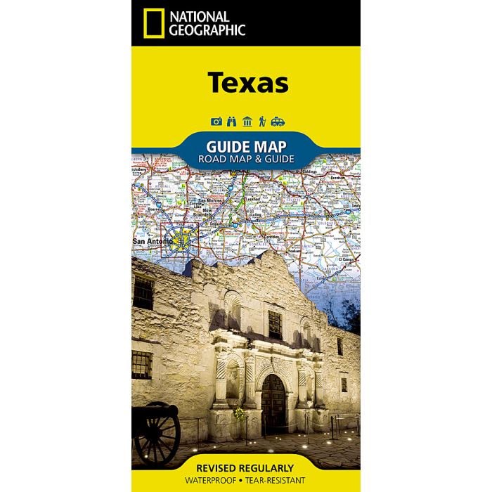
Waterproof Tear-Resistant Travel MapExpertly researched and loaded with helpful information, National Geographic's Texas Guide Map is a must-have for travelers exploring "The Lone Star State." In addition to a state map, inset maps provide detail on the Texas Panhandle and the cities of Dallas, Fort Worth, Houston, Amarillo, Abilene, Lubbock, Waco, Laredo, Beaumont, El Paso, Odessa-Midland, McAllen, Corpus Christi, San Antonio, and Austin. Cities and towns are easy to find with the map's helpful index and hundreds of attractions are noted. Road network designations are clear and distances in miles on major highways are shown.Additional information and maps feature the recreation activities available in Big Bend National Park and the attractions along the Hill Country scenic drive. The Alamo, the Space Center Houston, the San Antonio Riverwalk, and Guadalupe Mountains National Park are just some of the many points of interest that are highlighted. A handy chart of park service sites and climate information are also included.Every State Guide Map is printed on durable synthetic paper, making them waterproof, tear-resistant and tough capable of withstanding the rigors of any kind of travel.