We use cookies to make your experience better. To comply with the new e-Privacy directive, we need to ask for your consent to set the cookies. Read our privacy and security policy

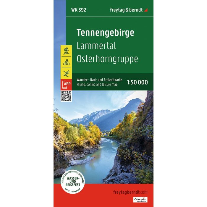
Tennengebirge Hiking, cycling and leisure map
WK392 1:50,000
£12.90
In Stock
Usually dispatched within 24 hrs. Free delivery to UK for orders £25 and over
| Cordee Code: | FB1772 |
|---|---|
| Page Size: | 100 x 205 mm |
| No of Pages: | 2 |
| Publisher: | Freytag & Berndt |
| ISBN13: | 9783707920819 |
| Published Date: | August 2026 |
| Edition: | 2026 |
| Binding: | Sheet Map (folded) |
| Weight: | 100g |
| Product Type: | Map |
| Countries: | Austria |
The freytag & berndt hiking map "Tennengebirge - Lammertal - Osterhorngruppe 1:50,000" is the ideal hiking companion thanks to its detailed digital cartography and precise scale. It is regularly updated and contains current information on hiking trails, cycling and mountain biking routes, mountain huts, natural monuments, cultural attractions, and leisure facilities. The accompanying information booklet includes a selection of the best hiking trails, cycling routes, and mountain bike trails, as well as a brief description of the region. (Language: German) Leisure information, hiking and long-distance hiking trails, mountain biking and cycling tours, place name index with postal codes, GPS compatible, via ferrata, ski route, cross-country ski trail, Nordic walking route;