We use cookies to make your experience better. To comply with the new e-Privacy directive, we need to ask for your consent to set the cookies. Learn more
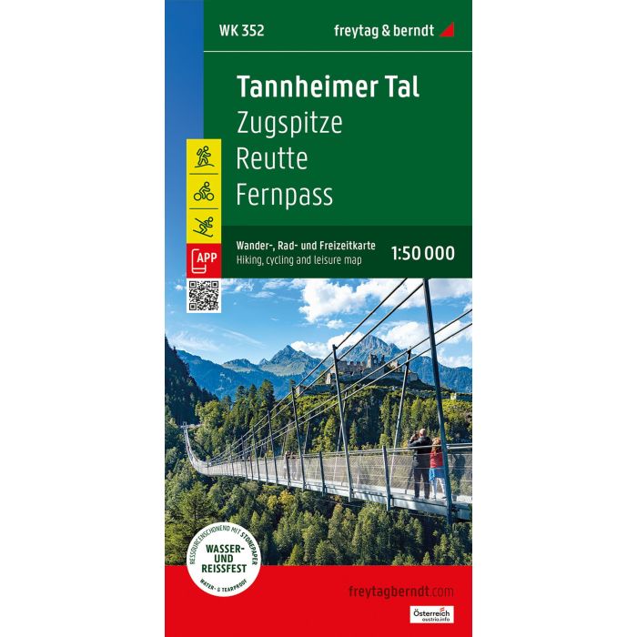
Tannheimer Valley, hiking, cycling and leisure map
WK532 Zugspitze - Reutte - Fernpass
£12.90
Not Yet Published
This title has not yet been released. You may pre-order now and we will deliver it to you when it arrives.
Contact [email protected]
Contact [email protected]
Expected: 1st June 2025
| Cordee Code: | FB1699 |
|---|---|
| Page Size: | 100 x 205 mm |
| Publisher: | Freytag & Berndt |
| ISBN13: | 9783707924329 |
| Published Date: | June 2025 |
| Edition: | 2025 |
| Binding: | Sheet Map (folded) |
| Weight: | 95g |
| Product Type: | Map |
| Countries: | Austria |
The Tannheimer Valley Hiking, Cycling, and Leisure Map is the ideal map for hikes, bike tours, and excursions in the region. With the hiking and cycling map, you can plan your tours and find out about sights and viewpoints along the route.
For winter sports enthusiasts, the map offers ski routes, cross-country ski trails and all cable cars and lifts.
Information about the Tannheimer Tal hiking and cycling map
Scale 1:50,000
Hiking and long-distance trails
Cycle paths and mountain bike tours
Ski routes and cross-country ski trails
Tourist information
Rother App
Waterproof and tear-resistant
Double-sided
Format: ca. 82 x 69 cm
Rother App
The linked free version of the Rother App offers a digital map with the complete hiking and cycling trail network, as well as some sample tours in the region (free registration required).
Waterproof and tear-resistant
So that the hiking map can be used for orientation even on rainy days, it is printed on a special waterproof and durable paper.
Resource-efficient production
. The card is made of 80% ground limestone. Production is significantly more resource-efficient than conventional paper, as water, wood, and energy consumption are significantly lower.
Printed in Austria.