We use cookies to make your experience better. To comply with the new e-Privacy directive, we need to ask for your consent to set the cookies. Learn more
Tahoe Rim Trail Map
Topographic Map Guides
£14.95
Temp Out Of Stock
| Cordee Code: | NG0321 |
|---|---|
| Page Size: | 110 x 240 mm |
| Publisher: | National Geographic Maps |
| ISBN13: | 9781566957496 |
| Binding: | Sheet Map (folded) |
| Weight: | 50g |
| Product Type: | Map |
| Countries: | United States of America |
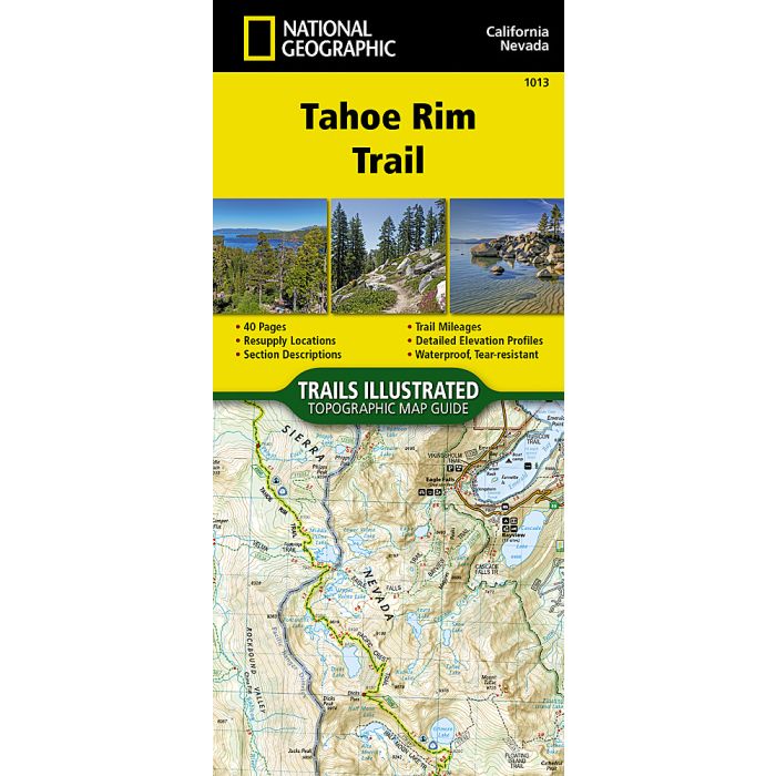
Waterproof Tear-Resistant Topographic MapConceived in 1978 and completed in 2001, the 175-mile Tahoe Rim Trail (TRT) circumnavigates the beautiful Lake Tahoe Basin and traverses some of the most spectacular scenery in the Sierra Nevada and Carson Ranges. For more than 50 miles the TRT coincides with the Pacific Crest Trail (PCT), a national scenic trail extending from Canada to Mexico through the western United States. The lowest point along the TRT is approximately 6,200 feet above sea level where the Truckee River enters Lake Tahoe; with the highest point at Relay Peak, 10,398 feet. While the average segment elevation gain is 5,400 feet, the total elevation gain of the entire trail is greater than 40,000 feet.The Topographic Map Guide is arranged for clockwise travel around the Tahoe Rim Trail starting at Tahoe City. Each map page has a detailed trail profile that shows the elevation changes you will encounter. The TRT is highlighted and centered on each page so you can easily track your progress. The Topographic Map Guide also includes detailed information about the eight standard sections of the TRT, each section is from 15 to 30 miles and covers about two pages of the map guide.More convenient and easier to use than folded maps, but just as compact and lightweight, National Geographic's Topographic Map Guide booklets are printed on "Backcountry Tough" waterproof, tear-resistant paper with stainless steel staples. A full UTM grid is printed on the map to aid with GPS navigation.
-
 Lake Tahoe Recreation Map 171280waterproof & tear-resistant paper£6.99
CWA223
Temp Out Of StockOut of stock -
-
 Tahoe National Forest East Map Sierra Buttes, Donner PassTrails Illustrated Maps£14.95
NG0501
In Stock -
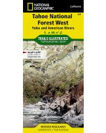 Tahoe National Forest West Map Yuba and American RiversTrails Illustrated Maps£14.95
NG0502
In Stock -