We use cookies to make your experience better. To comply with the new e-Privacy directive, we need to ask for your consent to set the cookies. Learn more
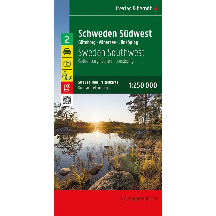
Sweden Southwest, Road and Leisure Map
Gothenburg - Vanern - Jonkoping
£12.90
In Stock
Usually dispatched within 24 hrs. Free delivery to UK for orders £25 and over
| Cordee Code: | FB1741 |
|---|---|
| Page Size: | 130 x 255 mm |
| No of Pages: | 2 |
| Publisher: | Freytag & Berndt |
| ISBN13: | 9783707925005 |
| Published Date: | March 2026 |
| Edition: | 2026 |
| Binding: | Sheet Map (folded) |
| Weight: | 200g |
| Product Type: | Map |
| Countries: | Sweden |
The southwest of Sweden offers a variety of activities and sights for holidaymakers. With the road map Sweden Southwest on a scale of 1:250,000, active holidaymakers who are travelling by car, motorbike or caravan will find their way around perfectly. The extensive road network is depicted exactly, distances and tourist destinations are marked on the map.
Information about the road map Sweden Southeast
Scale 1:250.000
Sights
Campsites and pitches
Place register with postal codes
Map of Gothenburg, Oslo
Format: 123 x 94 cm
Lake Vanern is the largest lake in Sweden and offers many opportunities for fishing, boating and swimming. The islands of the archipelago around Gothenburg are a dream destination for hiking, kayaking, swimming or simply relaxing in picturesque nature.
Car and motorcyclists appreciate the exact cartography of freytag & berndt, especially for planning and orientation on site. Caravan drivers and campers will of course find all campsites and pitches on the map.
This map is sheet 2 of the Sweden map series.
The map series Sweden consists of a total of 5 sheets: Sheet 1: Sweden South Malmo - Helsingborg - Kalmar
Sheet 2: Sweden Southwest Gothenburg - Lake Vanern - Karlstad
Sheet 3: Sweden Southeast Stockholm - Uppsala - Linkoping
Sheet 4: Sweden Central Sundsvall - Falun - Gavle
Sheet 5: Sweden North Swedish Lapland - Umea - Ostersund