We use cookies to make your experience better. To comply with the new e-Privacy directive, we need to ask for your consent to set the cookies. Learn more
St Moritz Bernina 2521 Composite
1:25 000
£21.99
Temp Out Of Stock
Map No. 2521, St Moritz - Bernina, in the topographic survey of Switzerland at 1:25,000 from Swisstopo, covering the Upper Engadine Valley (Oberengadin / Engadina Ota) from the Maloja Pass to Samedat, plus the Bernina Valley with Pontresina.
| Cordee Code: | CMZ198 |
|---|---|
| Publisher: | Swisstopo |
| ISBN13: | 9783302025216 |
| Language: | English |
| Published Date: | January 2010 |
| Weight: | 90g |
| Product Type: | Map |
| Countries: | Switzerland |
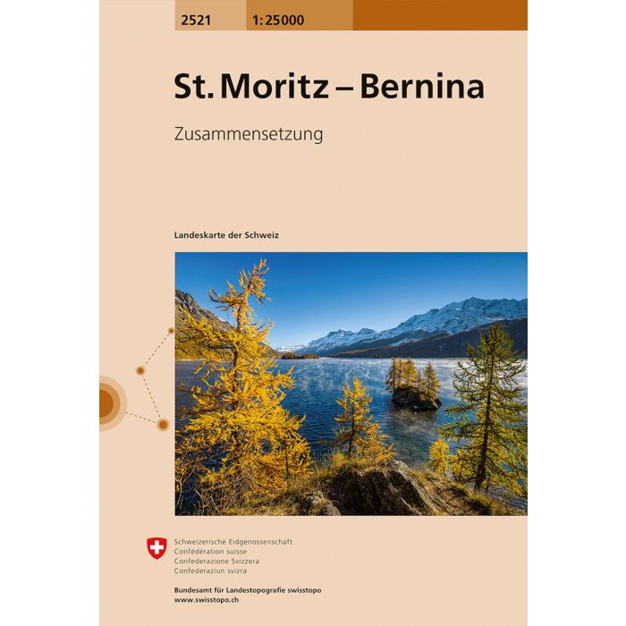
Map No. 2521, St Moritz - Bernina, in the topographic survey of Switzerland at 1:25,000 from Swisstopo, covering the Upper Engadine Valley (Oberengadin / Engadina Ota) from the Maloja Pass to Samedat, plus the Bernina Valley with Pontresina.
Swiss topographic survey at 1:25,000 covers the whole country on 247 small format sheets, with special larger maps published for popular regions including some titles now available in hiking versions.
Highly regarded for their superb use of graphic relief and hill shading, the maps give an almost 3-D picture of Switzerland's mountainous terrain.
Contours are at 10 m intervals, with 20m intervals in the mountainous areas. All the maps have a 1-km grid for Swiss national coordinates (datum CH 1903).