We use cookies to make your experience better. To comply with the new e-Privacy directive, we need to ask for your consent to set the cookies. Learn more

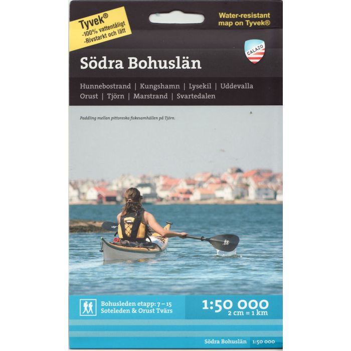
Southern Bohuslan Coastal Map
1:50.000
£14.99
In Stock
Usually dispatched within 24 hrs. Free delivery to UK for orders £25 and over
| Cordee Code: | CMV303 |
|---|---|
| Page Size: | 130 x 210 mm |
| No of Pages: | 2 |
| Publisher: | Calazo Forlag Ab |
| ISBN13: | 9789186773137 |
| Binding: | Sheet Map (folded) |
| Weight: | 53g |
| Product Type: | Map |
| Countries: | Sweden |
This is the southern of Calazo's two maps that cover Bohuslan. It is as much a traditional Terrain Map for hikers as it is a Sea and Coast Map for paddlers. In Calazo's Lake and Coast Maps, the same thorough work is done with local shorter hiking trails and the map covers Bohusleden's stages 7-15. The map is supplemented with important information for paddlers. It can be shallows and shipping lanes, routes for archipelago traffic and other interesting services such as grocery stores and saunas in the archipelago. The border between the northern and southern map sheets of Bohuslan is at Bovallstrand. Calazo's maps are printed on the material Tyvek. Tyvek is synthetic fiber that makes the map completely insensitive to water and very tear-resistant. A tyvek map does not break in the creases or lose its color when you use it.