We use cookies to make your experience better. To comply with the new e-Privacy directive, we need to ask for your consent to set the cookies. Learn more
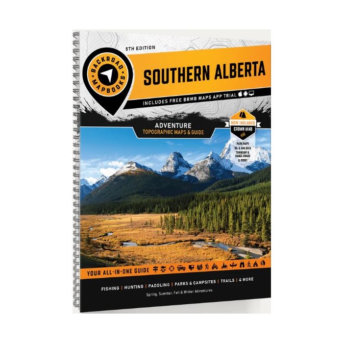
Southern Alberta Backroad Mapbook
£19.99
Refer To Cus Serv
Available by special order, contact [email protected] and we can advise expected delivery date.
| Cordee Code: | BRM008 |
|---|---|
| Page Size: | 215 x 280 mm |
| No of Pages: | 216 |
| Publisher: | Back Road Maps |
| ISBN13: | 9781926806853 |
| Scale: | 1:225 000 |
| Published Date: | April 2021 |
| Edition: | 5th Edition 2025 reprint |
| Binding: | Spiral/wirobound |
| Illustrations: | 59 maps @ 1:225,000 + 8 bonus Park Maps |
| Product Type: | Map |
| Countries: | Canada |
From the imposing, world-famous peaks of the Rocky Mountains in the west to the seemingly endless fields of wheat and canola in the east, Southern Alberta is a land of great contrast, with recreation opportunities as diverse as its landscape. The Rockies are the most dramatic part of this region and attract hikers, campers and mountaineers from across the globe, while anglers and whitewater rafters ply and play in the mountains many streams. As you make your way east, you will discover fertile hunting grounds and endless ATV trails, with a wide-open prairie landscape that will stir your adventurers soul and inspire you to take the road less travelled.
This mapbook includes Banff, Blairmore, Bragg Creek, Brooks, Calgary, Canmore, Cochrane, Crowsnest Pass, Drumheller, Fort Macleod, High River, Kananaskis Country, Lake Louise, Lethbridge, Medicine Hat, Okotoks, Olds, Pincher Creek, Sundre, Taber, Three Hills, Waterton & more
Highways, Logging Roads, Land & Water Features, Parks, Adventure Points of Interest, Campgrounds, Hiking Trails, Motorized Trails, Paddling Routes, Hunting & Fishing Areas, Winter Recreation and more