We use cookies to make your experience better. To comply with the new e-Privacy directive, we need to ask for your consent to set the cookies. Learn more
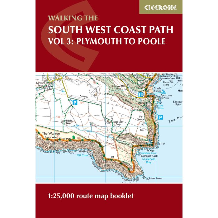
South West Coast Path Vol 3: Plymouth to Poole
1:25,000 OS route mapping
£12.95
In Stock
Usually dispatched within 24 hrs. Free delivery to UK for orders £25 and over
This booklet of Ordnance Survey 1:25,000 Explorer maps shows the full line of the section of the National Trail between Plymouth and Poole, providing all the mapping you need to walk the trail in either direction. It is conveniently sized for slipping into a jacket pocket or top of a rucksack.
| Cordee Code: | CP0400 |
|---|---|
| Page Size: | 116 x 172 mm |
| No of Pages: | 112 |
| Publisher: | Cicerone Press |
| ISBN13: | 9781786312006 |
| Scale: | 1:25 000 |
| Author: | Paddy Dillon |
| Published Date: | August 2023 |
| Edition: | 2nd Ed, August 2023 |
| Binding: | Paperback (encapsulated) |
| Illustrations: | Colour 1:25 000 OS Mapping |
| Weight: | 150g |
| Product Type: | Map |
| Countries: | United Kingdom |
This booklet of Ordnance Survey 1:25,000 Explorer maps shows the full line of the section of the National Trail between Plymouth and Poole, providing all the mapping you need to walk the trail in either direction. It is conveniently sized for slipping into a jacket pocket or top of a rucksack.
Two separate booklets cover the route from Minehead to St Ives and from St Ives to Plymouth. The map booklets accompany the Cicerone guidebook - The South West Coast Path - which describes the full National Trail in 45 stages, with lots of other practical information and local points of interest.
The South West Coast Path is Britain's longest National Trail, stretching some 630 miles (1014km) between Minehead in Somerset and Poole in Dorset.
-
 South West Coast Path - Vol 1:Minehead to St Ives1:25,000 route map booklet£12.95
CP0129
In StockOut of stock