We use cookies to make your experience better. To comply with the new e-Privacy directive, we need to ask for your consent to set the cookies. Learn more
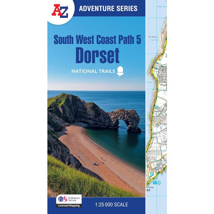
South West Coast Path 5 Dorset
A-Z Adventure Atlas Map 1:25,000
£11.99
In Stock
Usually dispatched within 24 hrs. Free delivery to UK for orders £25 and over
Plan your next adventure along the Dorset section of the South West Coast Path with trusted mapping from A-Z
| Cordee Code: | CMAZ89 |
|---|---|
| Page Size: | 136 x 240 mm |
| No of Pages: | 52 |
| Publisher: | Geographers A-z |
| ISBN13: | 9780008707668 |
| Scale: | 1:25,000 |
| Published Date: | March 2025 |
| Edition: | 4th Ed, March 2025 |
| Binding: | Paperback (flapped) |
| Illustrations: | ordnance survey mapping |
| Weight: | 90g |
| Product Type: | Map |
The perfect companion for those who love the great outdoors, the A-Z Adventure Series features 1:25000 Ordnance Survey mapping in a convenient book, complete with index.
The South West Coast Path is a National Trail along the Somerset, Devon, Cornwall and Dorset coasts. This stunning walk from Minehead, Somerset covers 630 miles to South Haven Point in Poole Harbour, passing through two World Heritage Sites (the Jurassic Coast and the Cornwall and West Devon Mining Landscape), Exmoor National Park, Land's End and many areas of outstanding natural beauty.
This A-Z Adventure Atlas of the South West Coast Path: Dorset features 36 pages of continuous Ordnance Survey mapping covering the South West Coast Path from Lyme Regis, following the route east, to its finishing point at South Haven Point in Poole Harbour. This atlas includes a route planner providing the distances between places and the amenities available, featuring:
-Information Centres
-Visitor Centres
-Hotels/B&Bs
-Youth Hostels
-Campsites (seasonal opening)
-Public Houses
-Shops
-Restaurants
-Cafes (seasonal opening)
-Petrol stations